The walk in West Yorkshire visits one of the most attractive reservoirs in the area and crosses some high moors with stunning and wide ranging views.
The Route
- what3words for start point: ///selling.efficient.deferring
- Start Point: Oxenhope
- Finish Point: Oxenhope
- Distance: 10 Miles
GPX Route Map
Walk Description
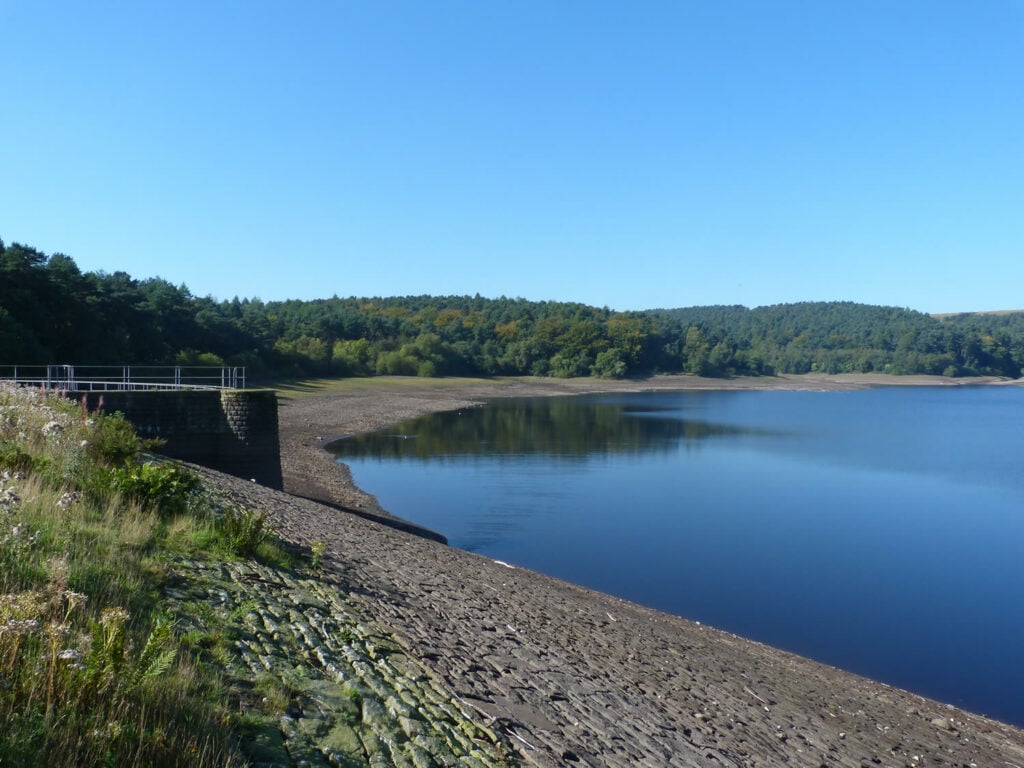
Start in Oxenhope and walk south over the moors towards Ogden Reservoir. The reservoir is surrounded by some attractive woodland full of wildlife and the views impressive when crossing the dam wall. The walk then climbs back to the open moors.
On one side of the moors is a wind farm, on the other another reservoir, this time a venue for watersports. The return to Oxenhope is down a fine lane with views across the mills and moors of Haworth.
