
A lovely riverside walk with an abundance of wildlife. The walk follows the River Foss from Haxby to York City Centre.
The Route
- what3words for start point: ///overjoyed.string.zinc
- Start / Finish Point: Folks Close bus stop, Towthorpe Road, Haxby, York YO32 3LY
- Distance: 4.5 Miles
GPX Route Map
Walk Description
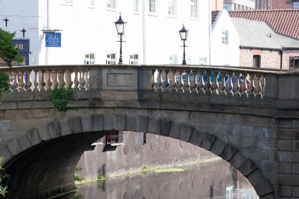
This scenic riverside walk starts from the Folks Close bus stop along Towthorpe Road, Haxby (bus 13). Look out for Landing Lane which is straight ahead on the right. Turn into this lane and look out for a public footpath sign on the left. This track leads to the River Foss. The footpath follows the river as it flows from Haxby to York city centre. The middle part of the walk can be completed on either side of the river until reaching the historic All Saints Church.
Stay on the west bank of the river after passing this church. The walk is a great place to see wildlife Look out for ducks, moorhens and dragonflies. If you are lucky you may see a kingfisher. Shoals of fish can easily be seen swimming in the river on a sunny day. The River Foss is also home to water voles. They have disappeared from many parts of the country but can still be found here. At three points the footpath briefly leads to a roadside footpath, but then quickly returns to the riverside. To return to York city centre take the number 12 bus from the Eboracum Way bus stop along Heworth Green.
