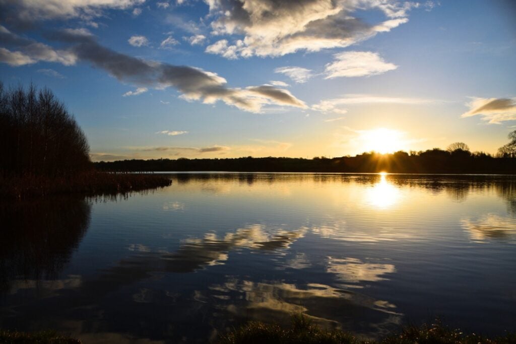
Enjoy a waterside walk or cycle along the Barnsley Canal on this easy route near Royston.
The Route
- what3words for start point: ///opposites.bunny.rope
- Start Point: Shaw Bridge, Shaw Lane, Carlton, Barnsley S71 3HJ
- Finish Point: (B6378) Walton, Shay Lane, WF2 6LA
- Distance: 5 miles
GPX Route Map
Walk Description
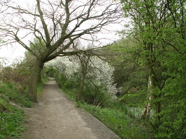
Enjoy a waterside walk or cycle along the Barnsley Canal on this easy route near Royston. This section of the canal follows National Cycle Network Route 67 from Shaw Bridge, near Royston, to Walton. The route runs for just over 5 miles passing Rabbit Ings Country Park, Wintersett Reservoir and the woodland of Haw Park. It's a peaceful area with a nice surfaced path ideal for a safe cycle or easy walk.
