
A nature filled walk around the amazing Tophill Low Nature Reserve.
The Route
- what3words for start point: ///appealing.rides.tramps
- Start Point: Nature Reserve, Tophill Low, Driffield, YO25 9RH
- Finish Point: Nature Reserve, Tophill Low, Driffield, YO25 9RH
- Distance: 4 Miles
GPX Route Map
Walk Description
From the Reception, follow the Red route path to the right to meet a junction of paths. Turn right to follow the Red route path over the footbridge, and then when the path splits, choose left or right - it doesn’t matter as they meet up later.
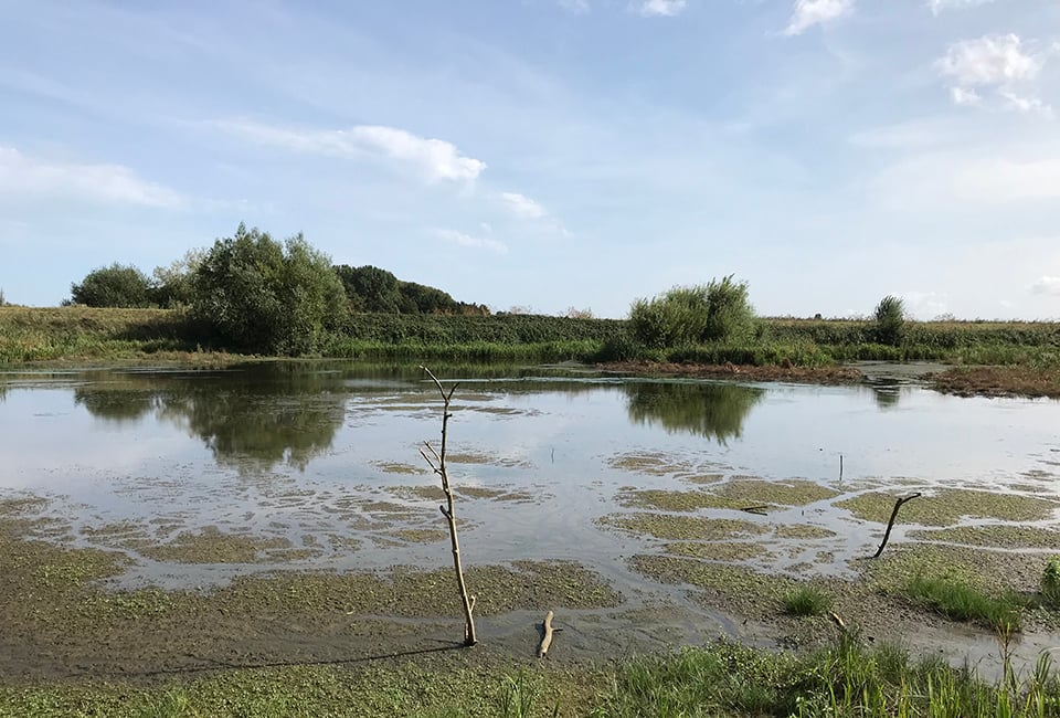
At the junction of paths, turn to follow the Gold route path, and follow it to the O reservoir. Here, you can go either clockwise or anti-clockwise around the reservoir. Spend some time in the five hides dotted around the reservoir just off the path. When you return to the Red routh path junction, follow that back to where you joined the Gold route path - and perhaps this time follow the opposite Red route path to get back to the footbridge.
Carry on, and when you get to the junction with the Red and Blue routes, carry straight on to follow the Blue route path. This takes you first to a hide near the larger D reservoir, and then through the wood, before exiting and following the D reservoir on clear paths.
Eventually, the path returns you to the Reception and the short walk back to the car park.
