Discover Luddenden Foot
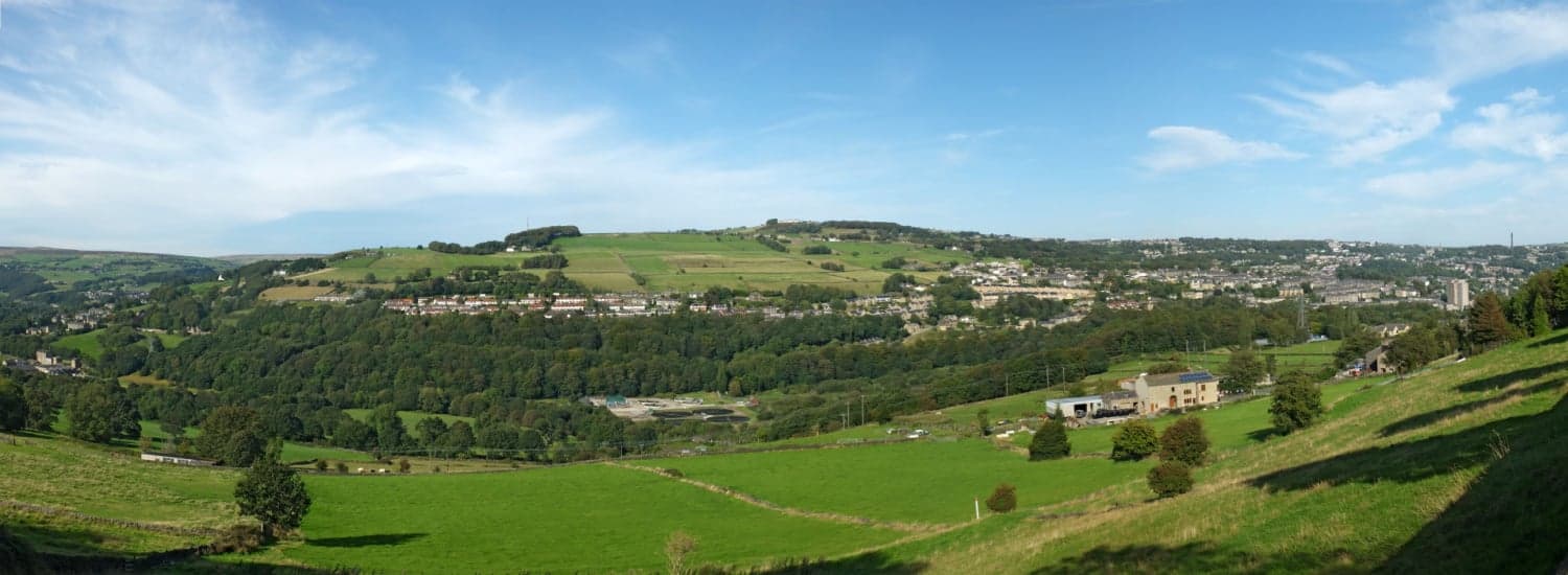
Luddenden Foot is a village located in West Yorkshire, governed by Calderdale Council. It has a population of approximately 3,000 residents. The village is situated along the River Calder and has a rich industrial heritage, with historical ties to textile manufacturing. Visitors can explore its scenic surroundings and industrial landmarks.
Explore the map below to discover accommodation, attractions, restaurants, and live events across Luddenden Foot. Scroll down to browse featured listings and plan your perfect visit.
Stay in Luddenden Foot

Woodroyd apartments

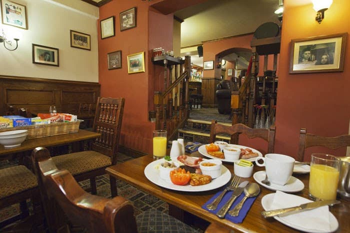
The New Rushcart Inn & Country Dining

Ploughcroft Cottage

Grooms House

Daisy Bank Camp
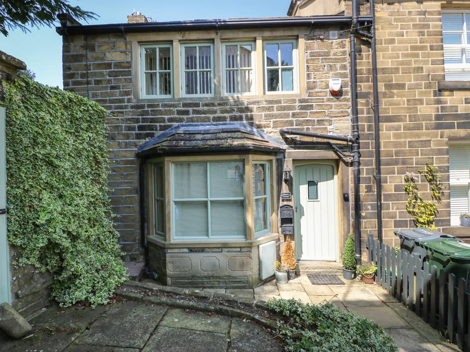
Chloe's Cottage
Things to Do in Luddenden Foot
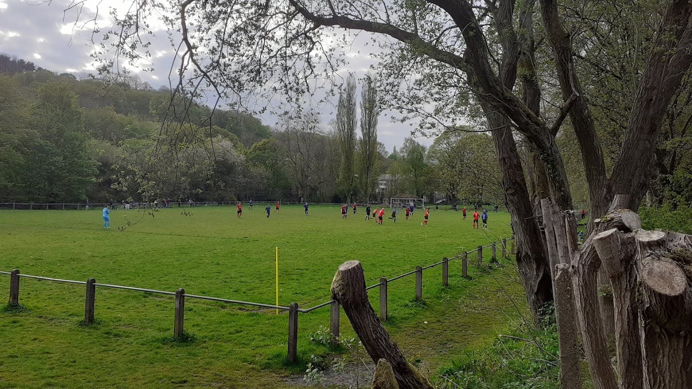
Holmes Park
Holmes Park in Luddenden Foot, Halifax, offers a charming setting with well-maintained flower beds, a cenotaph, and a children's play area. Visitors can enjoy a leisurely day out in this picturesque park, though parking is likely pay-and-display as no free parking information is available.

Red House & Gardens
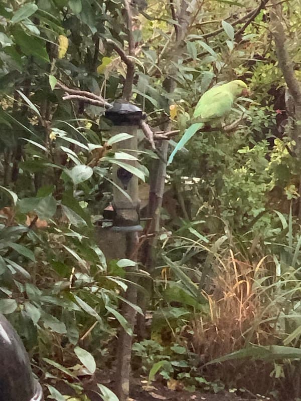
Parakeet Point
Discover Parakeet Point in Shipley, a charming local tourist attraction highly rated by visitors.
Browse by Type
Food & Drink
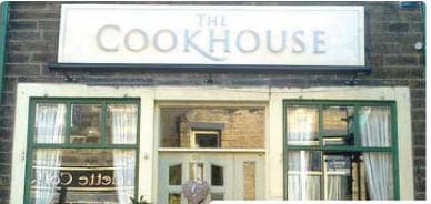
The Cookhouse
The Fleece Inn
The Fleece Inn, located in the charming village of Oxenhope near Haworth, offers convenient parking for visitors exploring this picturesque area. While enjoying your stay at this classic English pub with its welcoming atmosphere and delicious fare, you can easily find parking nearby, making it a great spot for tourists looking to experience local hospitality.
The Top Brink Inn
The Top Brink Inn offers a charming parking experience in the picturesque village of Mankinholes, Todmorden. While enjoying classic pub grub and real ales, visitors can conveniently park nearby, making it an ideal stop for those exploring the rural beauty of Yorkshire. The parking facilities are likely pay-and-display, ensuring easy access for all travelers.

Interactive Map
View accommodation, attractions, restaurants, and events on the map
Geographic Facts
This village is geographically within the following regions:
- Population
- 2,547
- Administrative area
- Calderdale
Data sourced from Wikidata and verified public records