
Historical Map of Ireland
by Historical Images Ltd
Compare 1 Retailer
Amazon
Check live price on Amazon.co.uk
eBay
Check availability and price on eBay.co.uk. Yorkshire.com may be paid for purchases made through this link, by eBay Partner Network.
Can’t find it elsewhere?
Product Description
More products from TGJones
Browse their full range on Yorkshire.com
Popular in Bookmarks
Browse all Bookmarks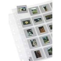
Hama Slide sleeves photo album 20 sheets 50 x 50 mm
£13.68

Bunny Scratch Art Bookmarks (Pack of 10) Rainbow Coloured, Fun Activity For Kids, Easter Craft Kits
£3.95

Pack Of 3 Gold Plated Bookmarks
£12.99

Jungle Animal Scratch Art Bookmarks (Pack of 12) Rainbow Coloured, Scratch Tools Included
£4.95

Dog Scratch Art Bookmarks (Pack of 12) Decorate & Personalise, Rainbow Colours, Tools Included
£3.95

Scratch Art Bookmarks (Pack of 12) Decoration Craft Kits, Size 17cm x 5cm, Scratch Tools & Ribbons Included
£4.45