
A Oxfordshire 1611 - 1836 - Fold Up Map that features a collection of Four Historic Maps, John Speed's County Map 1611, Johan Blaeu's County Map of 1648, Thomas Moules County Map of 1836 and a Plan of
by Historical Images Ltd
£19.99
MPN9781844918140
Prices updated 18 Jun 2026
Compare 1 Retailer
Prices checked 2d ago
Amazon
Check live price on Amazon.co.uk
eBay
Check availability and price on eBay.co.uk. Yorkshire.com may be paid for purchases made through this link, by eBay Partner Network.
Can’t find it elsewhere?
Product Description
This folded map (890mm x 1000mm when unfolded) is an ideal souvenir for tourists to Oxfordshire and also a valuable reference resource for local and family history research.It includes 4 Historic maps of Oxfordshire, John Speed's County Map of Oxfordshire 1611, Johan Blaeu's County Map of Oxfordshire 1648,Thomas Moule's County Map of Oxfordshire 1836 and the detailed Plan of the City of Oxford 1836 by Thomas Moule.All the maps have been meticulously re-produced from antique originals and printed on 90 gsm "Progeo" paper which was specially developed as a map paper.It has high opacity to help reduce show through and a cross grain giving it greater durability to as the map is being folded.
More products from TGJones
Browse their full range on Yorkshire.com
Popular in Scientific Calculators
Browse all Scientific Calculators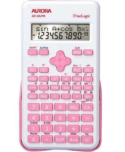
Aurora AX-582PK calculator Pocket Scientific Pink
£11.88
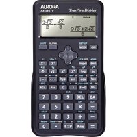
Aurora AX-595TV Pocket Scientific Calculator - Black
£17.57
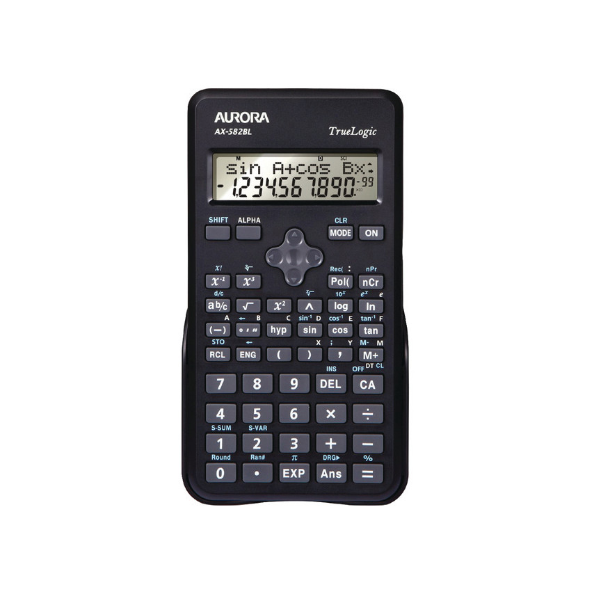
Aurora AX-582BL calculator Pocket Scientific Black
£11.88
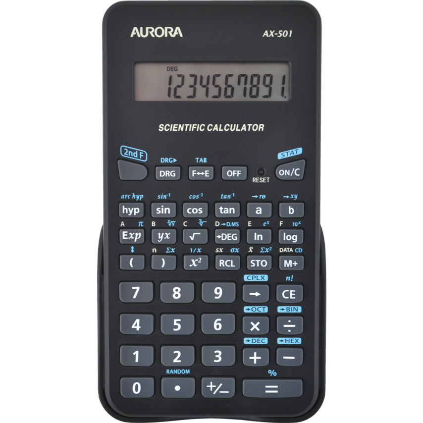
Aurora AX-501 calculator Pocket Scientific Black
£10.54
Casio FX-991CW calculator Pocket Scientific Black
£29.95

Casio FX-991CW SCIENTIFIC CALC BLACK
£33.25
Deals from Scientific Calculators retailers
From£19.99TGJones
Buy Now