From the Peak District to the Yorkshire Dales, follow old drover’s roads, ancient packhorse routes and bridleways on a journey through the stunning and varied landscapes of the Pennines.
The Route
- what3words for start point: ///woof.perch.saves
- Start Point: Middleton Top, Derbyshire
- Finish Point: Ravenstonedale, Cumbria
- Distance: 205 Miles
GPX Route Map
Walk Description
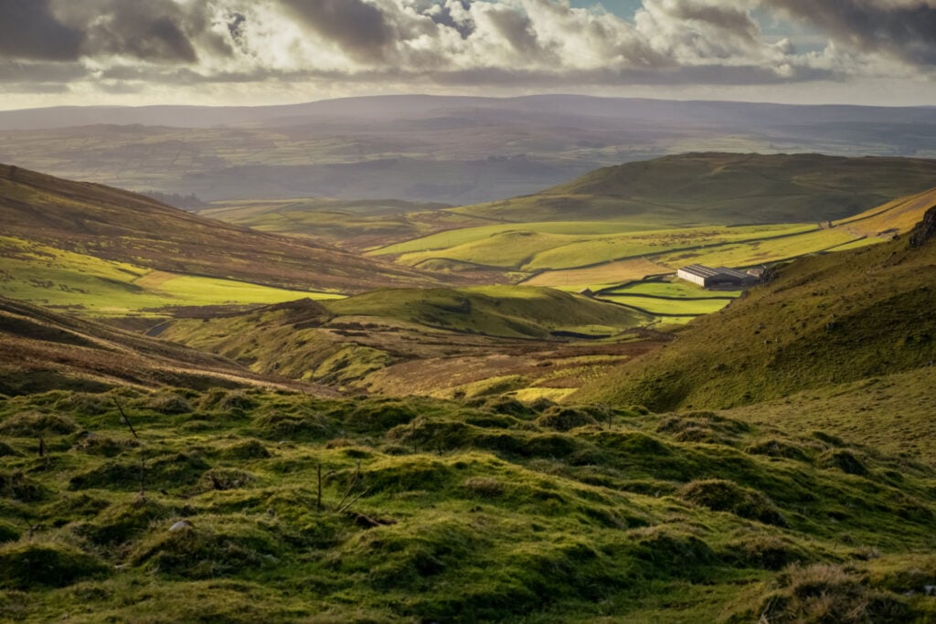
The Pennine Bridleway is the only National Trail specifically designed to be used by walkers, horse riders and cyclists. The 205 mile route stretches from Middleton Top in the Peak District to Ravenstonedale in the Yorkshire Dales and traverses a variety of landscapes, from open moorland to steep-sided wooded river valleys, along ancient packhorse routes, drovers’ roads and bridleways.
The Yorkshire Dales section features spectacular limestone landscapes including great views of Malham Tarn and the Three Peaks of Pen-y-ghent, Ingleborough and Whernside, as well as the 10 mile circuit of the Settle Loop. Much of the trail is stile-free and sections of it are accessible for those using all-terrain wheelchairs.
The trail calls at historic Yorkshire towns such as Hebden Bridge as well as tranquil villages, and you'll find a host of pubs, cafes, accommodation options and visitor attractions along the way. You can walk a section of the Pennine Bridleway as a day out, or if you're looking for a longer walk , enjoy it as a multi-day adventure.
On the Route
Brewhouse Cottage
mid point stay
Ribble Cottage
mid point stay
The Folly
on route attraction
Craven Heifer at Stainforth
mid point stay
Hare and Hounds
mid point stay
Maypole Inn
mid point stay
