This walk starts in the quiet town of Settle and takes you down to fascinating Stainforth Foss.
The Route
- what3words for start point: ///accented.buns.operated
- Start / Finish Point: Ashfield Car Park, Kirkgate, Settle BD24 9DZ
- Distance: 1 Miles
GPX Route Map
Walk Description
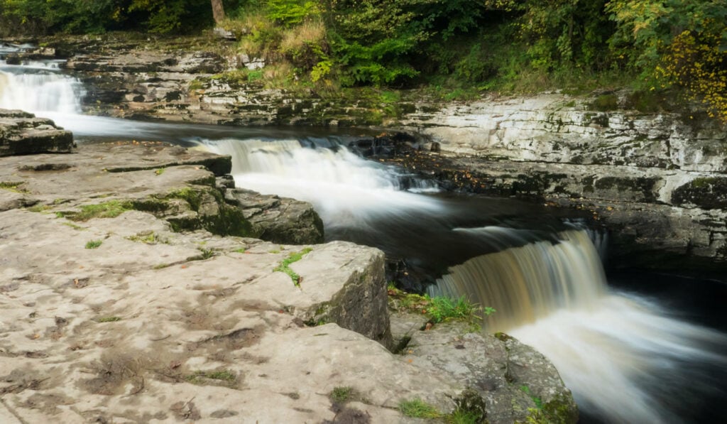
Close to the village of Stainforth, just to the north of Settle, is the magnificent waterfall of Stainforth Force which is on the River Ribble. From the National Park car park follow the Pennine Bridleway signs under the road, through a picnic area, and over the railway. After crossing over the narrow and ancient packhorse bridge, take the footpath through the fields and you will be treated to one of the National Park's most popular beauty spots.
