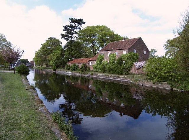
A lovely walk along a popular section of this restored canal in the Yorkshire Wolds.

Table of Contents
Walk Route
- what3words for start point: ///premiums.cuter.rainwater
- Distance: 7 Miles
- Start Location Name: Driffield
- Finish Location Name: Driffield
OS Route Map & GPX Download
The Ordnance Survey map below shows the full walk route, in pink. You can use this (try the full screen mode) on your smartphone to guide you where to go.
Download file for GPSDownload the GPX file for your GPS navigation device using the pink link above, and you’ll be able to use this walk on your own devices.
Walk Description
Experience the industrial revolution era and it’s impact on the then small market town of Driffield as you walk along this beautifully preserved section of canal in the wolds. Beginning near the train station, so ideal for those on public transport this walk follows the canal from the town centre out into the wolds.
The Canal has been recently restored and looks fabulous but make your you keep an eye out for the heritage buildings that dot the side of the waterway such as the cranes and mills. Follow the route as far as Wansford, where you get a great view of the River Hull running parallel to the canal.
At Wansford loop round towards Nafferton, a lovely village on the outskirts of Driffield before you head back to the town centre where you can refuel in one of the several pubs or cafes there.

