
Discover Laycock
Laycock is a village located in West Yorkshire, governed by the City of Bradford Metropolitan District Council. Known for its scenic landscapes, the village offers a glimpse into rural English life. Laycock is situated near the historic town of Keighley, providing visitors access to both natural beauty and cultural heritage sites.
Explore the map below to discover accommodation, attractions, restaurants, and live events across Laycock. Scroll down to browse featured listings and plan your perfect visit.
Property in Laycock
Explore property in Laycock — homes and commercial listings for sale and to rent. Start with terraced houses.
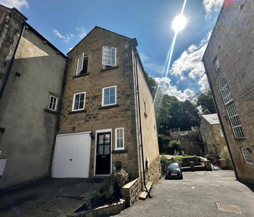
4 Bed Terraced House - Woodcote Fold, Laycock
£1,295 pcm
Browse by type
Stay in Laycock
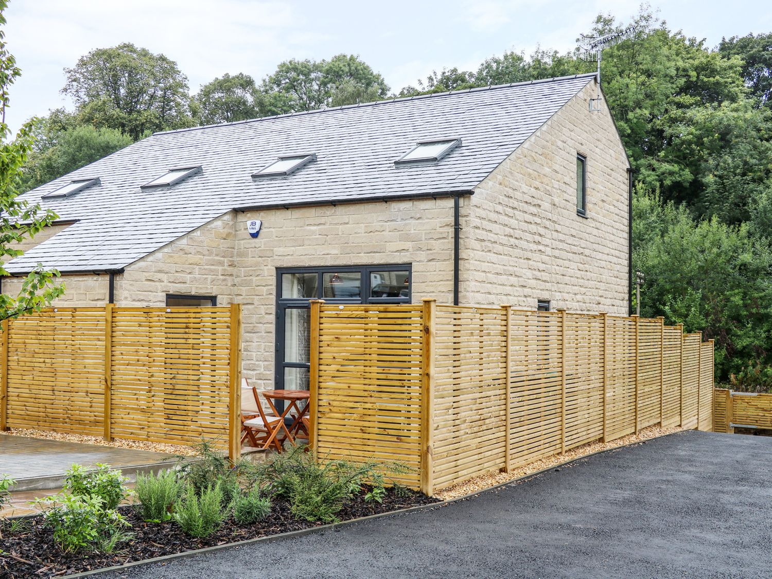
Chuffing Cottage
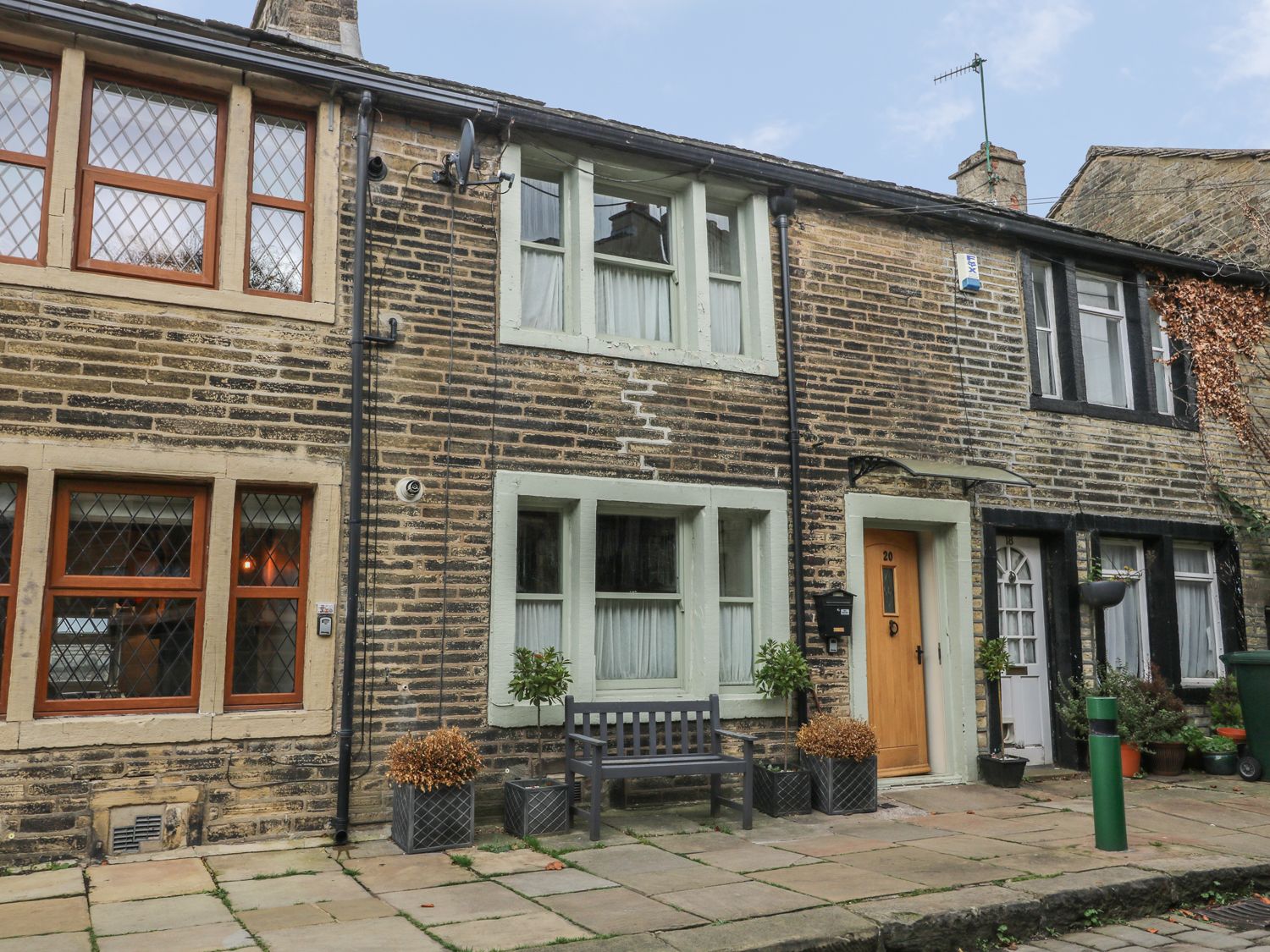
Bay Cottage
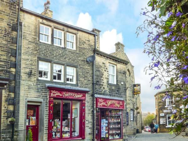
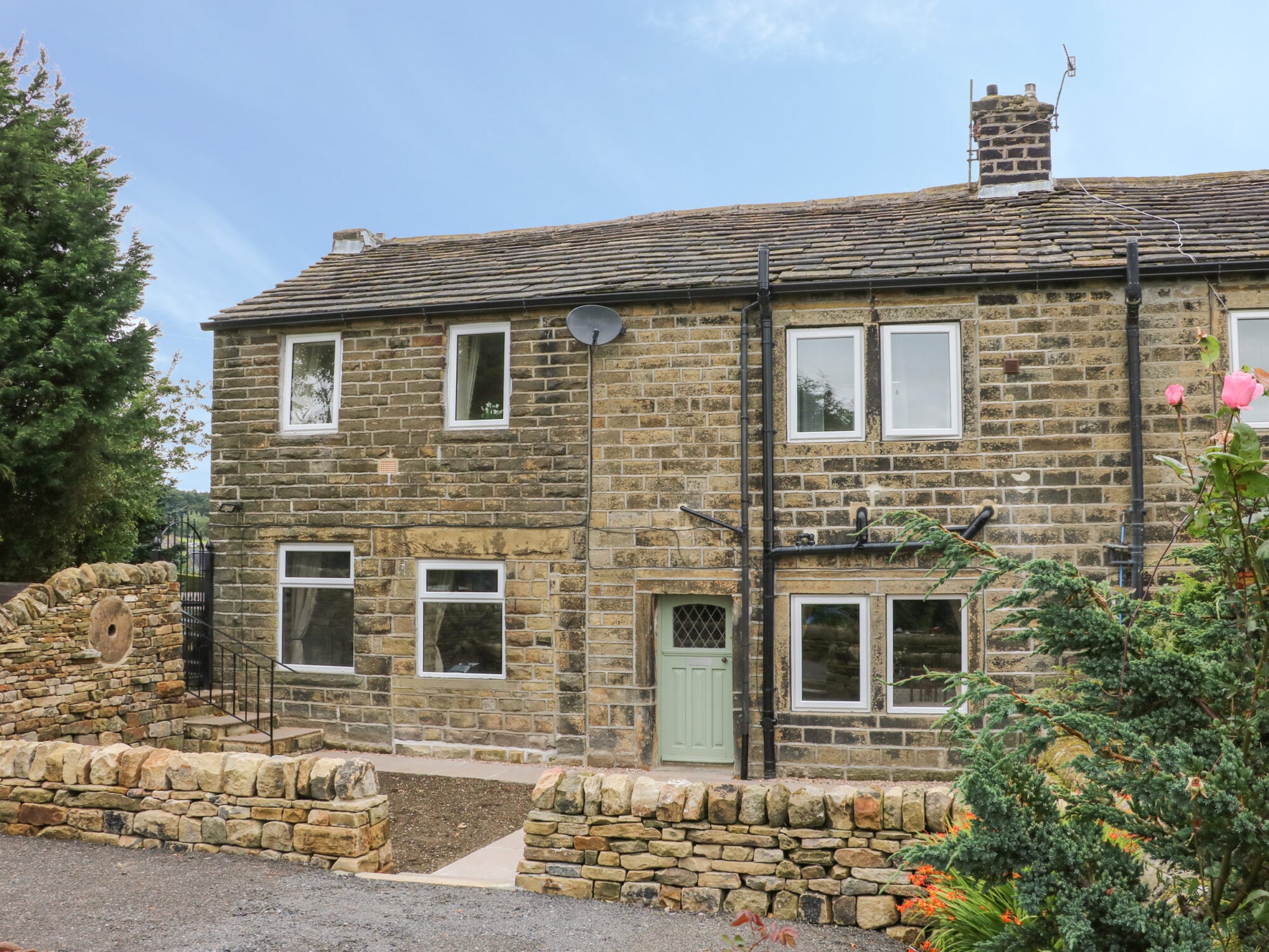
Hill Top Cottage
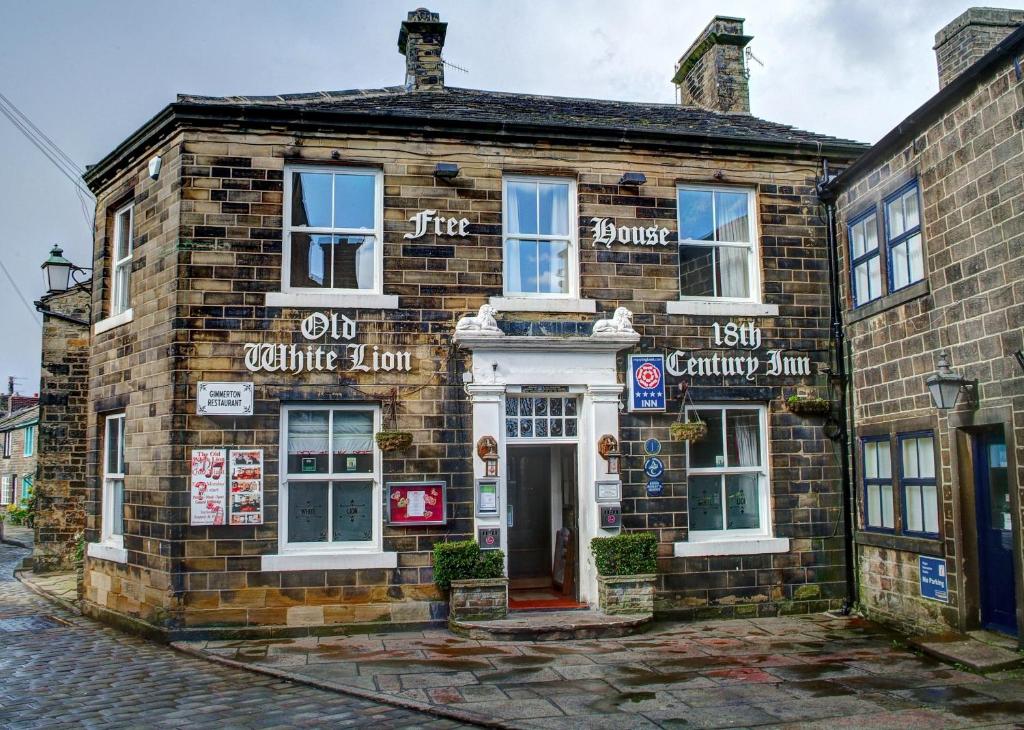
The Old White Lion Hotel
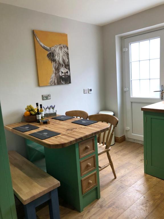
Hedgehog Cottage with garden in Bronte village!
Things to Do in Laycock
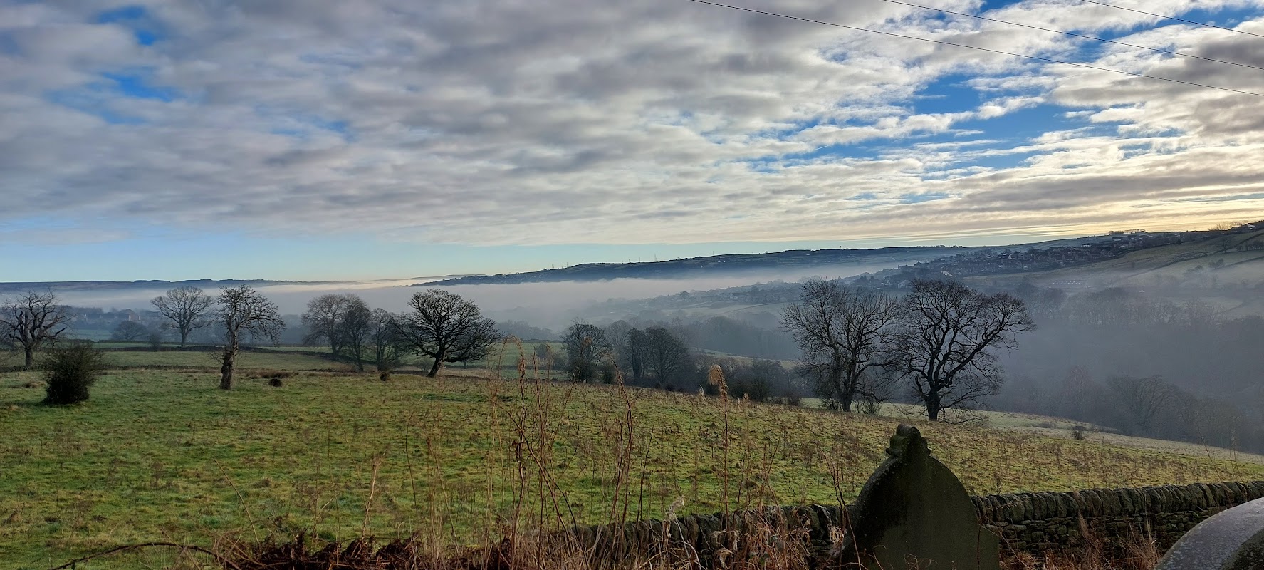
Laycock Village Hall
Laycock Village Hall offers convenient parking for visitors attending events or exploring the charming village of Laycock. While the parking situation is not extensively detailed, it is likely to follow a pay-and-display system, typical for such venues. Enjoy the picturesque surroundings and local attractions with ease.

Diggi’s Den
Explore Diggi’s Den, a charming zoo in Steeton, Keighley, providing an engaging animal experience for all ages.
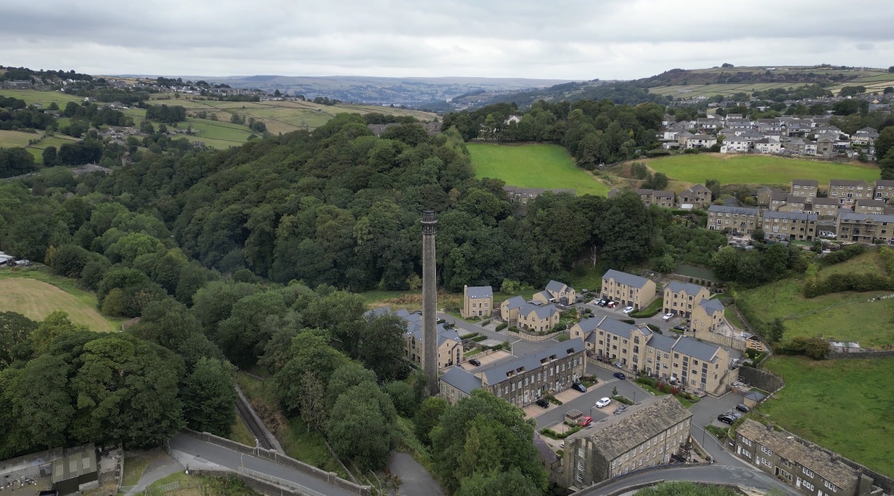
Ebor Mill Nature Reserve
Discover Ebor Mill Nature Reserve in Haworth, offering scenic paths, views of the River Worth, and a historic chimney.
Food & Drink

Cavendish Hotel
The Cavendish Hotel is a lively town centre pub in Keighley, offering drinks and regular entertainment for a vibrant night out.

Coffee Love
Discover Coffee Love in Keighley, a beloved local cafe praised for its excellent coffee, delicious treats, and warm, friendly atmosphere.
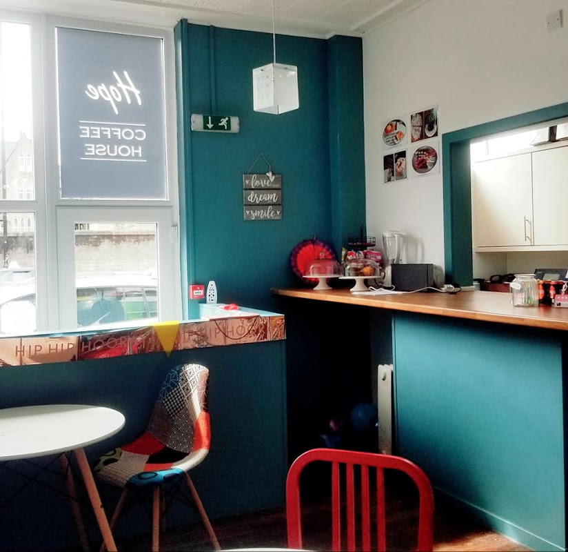
Hope Coffee House
Hope Coffee House in Keighley offers a warm welcome and a delightful range of hot drinks and light bites.

Interactive Map
View accommodation, attractions, restaurants, and events on the map
Geographic Facts
This village is geographically within the following regions:
- Administrative area
- Keighley
Data sourced from Wikidata and verified public records
Upcoming Events in Laycock
View All Events in Laycock →




Walkshire in Laycock
More Walks in Laycock →
Walk: Haworth Moor and Top Withins
A hearty moorland walk past Lower Laithe Reservoir and over Haworth Moor to the abandoned stone farmhouse of Top Withins. The Route what3words for start point: ///flute.model.aunts Start / Finish Point: Lay by car park area Cemetery Road, Haworth, BD22 8EN Distance: 6.2 Miles GPX Route Map walkshirehaworthtotopwithensDownload Walk Description From the layby car park on Cemetery Road in Haworth, with the bench in front of you, turn right, and walk towards the cemetery. At the gate on the right, take the public footpath that runs initially parallel to the road, but then starts to move away to the right. Follow this path to go past a works on the right to reach Reservior Road. Here, Lower Laithe Reservoir will be straight in front of you. Turn right and follow the road along the top of the embankment, and then up to Sun Lane. Turn left, and walk through the village of Stanbury - taking care as the pavements often disappear! Carry on past the village school and out of the village past the traffic calming islands. At the road junction, veer left along Back Lane - ignoring the no through road sign - and continue along the lane. At the junction, keep to the left, and then at the end of the lane, head to the right, along the path marked “Private Road”. As this is a public footpath, you are allowed to walk on it. Follow this path, and then at the junctions, keep to the right, to walk past two farm buildings on the right. This is now part of the Pennine Way. The path heads alongside some walled fields on the left, before clearly turning to the left to eventually find the remote abandoned stone farmhouse of Top Withins. Once you’ve investigated, retrace your steps until you see a clear path branching out to the right. Take this path and when it joins another, turn left. Follow this to walk alongside South Dean Beck. Ignore the next two paths branching off, and stick to the main path - although the landscape is wild, stick to this clear path. After a while, three more paths branch off, and you should ignore those too. Just after the edge of a walled field, at the junction of paths, head to the right, which is the easiest way to Bronte Bridge. Cross over the bridge, and look for the Bronte Waterfalls. Don’t turn down the path on the right, but continue on what is now part of the Bronte Way. Follow this very clear path, with green fields on the left and moorland on the right. Keep on this path until it reaches a crossroads. Here, head straight across, and down along Cemetery Road - keeping safe as it is a narrow road. Follow this all the way back to the laybe car park.

Wuthering Heights Walk
Leave the popular village of Haworth and explore the lonely moors beyond where the Bronte sisters found inspiration. Includes visits to Wuthering Heights and the Bronte Bridge. The Route what3words for start point: ///lovely.rekindle.suffix Start Point: Haworth. Car Park at the top end near church Finish Point: Haworth Distance: 9 Miles GPX Route Map brontewalkDownload Walk Description The Brontë Sisters lived in Haworth during the 19th Century and they drew their inspiration for novels such as Wuthering Heights and Jane Eyre from long walks in the moors above the village. After heading out of Haworth the walk crosses the moors to the Brontë Bridge, Seat and Waterfall before climbing to Top Withins farmhouse. Here the walk joins the Pennine Way and drops back through the village of Stanbury to Haworth. Accommodation There are loads of cosy rooms and holiday lets in Haworth.