
Discover Mirfield
Mirfield is a town located in West Yorkshire, governed by Kirklees Council. It has a population of approximately 20,000 residents. Known for its historic textile industry, Mirfield is part of the WF14 postcode area. The town features several heritage sites and offers easy access to the surrounding countryside.
Explore the map below to discover accommodation, attractions, restaurants, and live events across Mirfield. Scroll down to browse featured listings and plan your perfect visit.
Property in Mirfield
Explore 185 properties in Mirfield — homes and commercial listings for sale and to rent. Start with detached houses, semi-detached houses, flats & apartments, or bungalows.
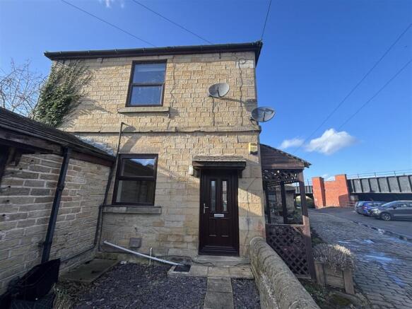
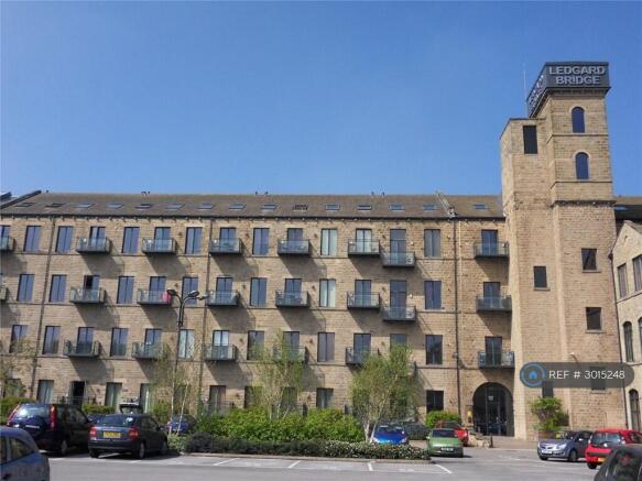
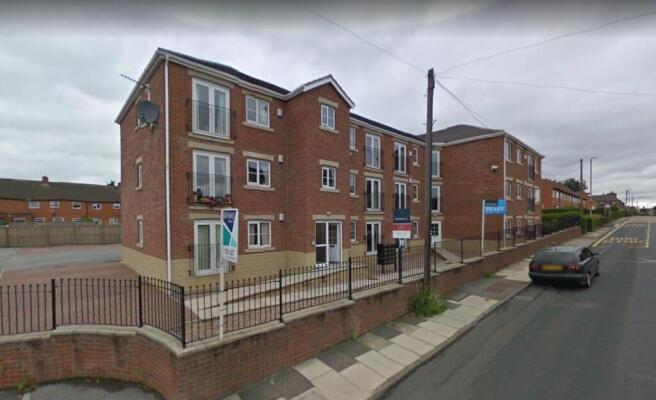
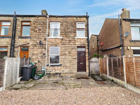
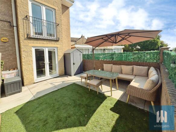
2 Bed Flat - Wateroyd Apartments, Mirfield
£750 pcm
Stay in Mirfield
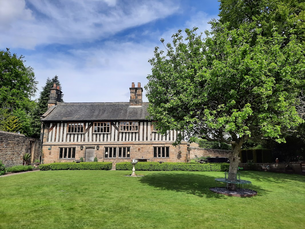
The Old Rectory at Mirfield
The Old Rectory offers beautifully appointed accommodation in Mirfield, lauded for its stunning setting and convenient central location.
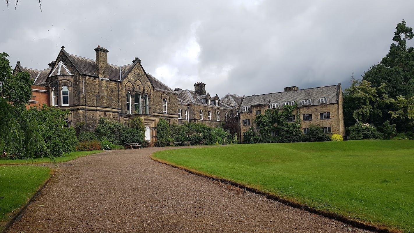
Mirfield Monastery B&B, Wedding Venue and Conference Centre
Experience tranquil hospitality and comfortable stays amidst the beautiful grounds of Mirfield Monastery, offering excellent value.


Things to Do in Mirfield
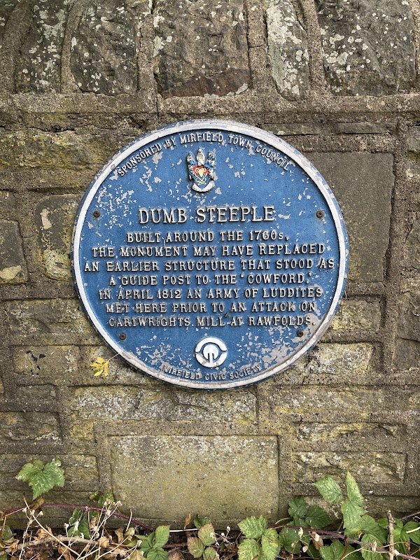
Dumb Steeple
Discover the enigmatic Dumb Steeple, a 26-foot stone column near Mirfield whose mysterious origins continue to fascinate visitors.
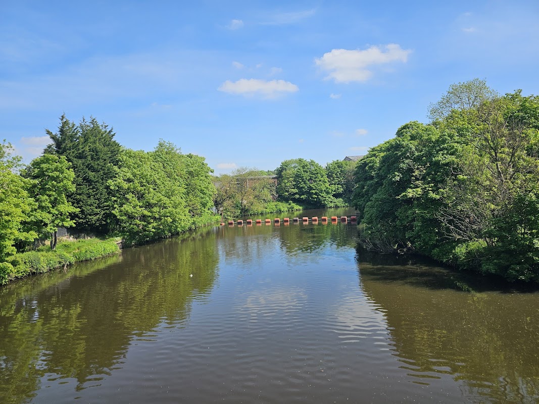
Battyeford Fluod Lock
Discover Battyeford Fluod Lock in Mirfield, a serene historical landmark celebrated for its beautiful area and abundant wildlife.
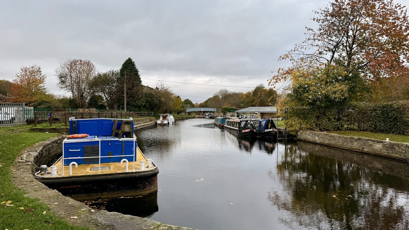
Battyeford Lock 17
Discover Battyeford Lock 17 in Mirfield, a beautifully maintained canal lock and historic site perfect for scenic canal path walks.
Browse by Type
Food & Drink
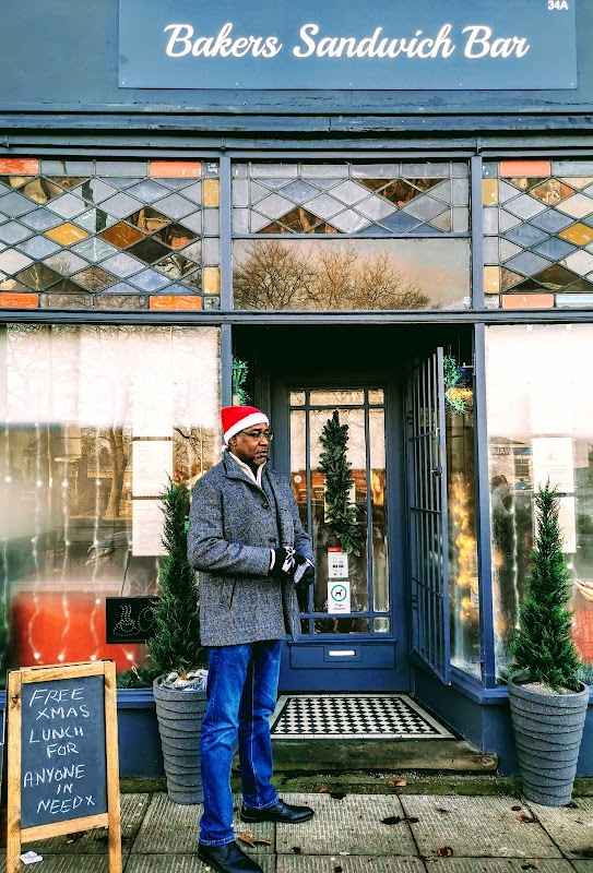
Bakers Sandwich Bar
Bakers Sandwich Bar in Mirfield is a highly-rated local favourite for delicious, freshly made sandwiches and friendly service.
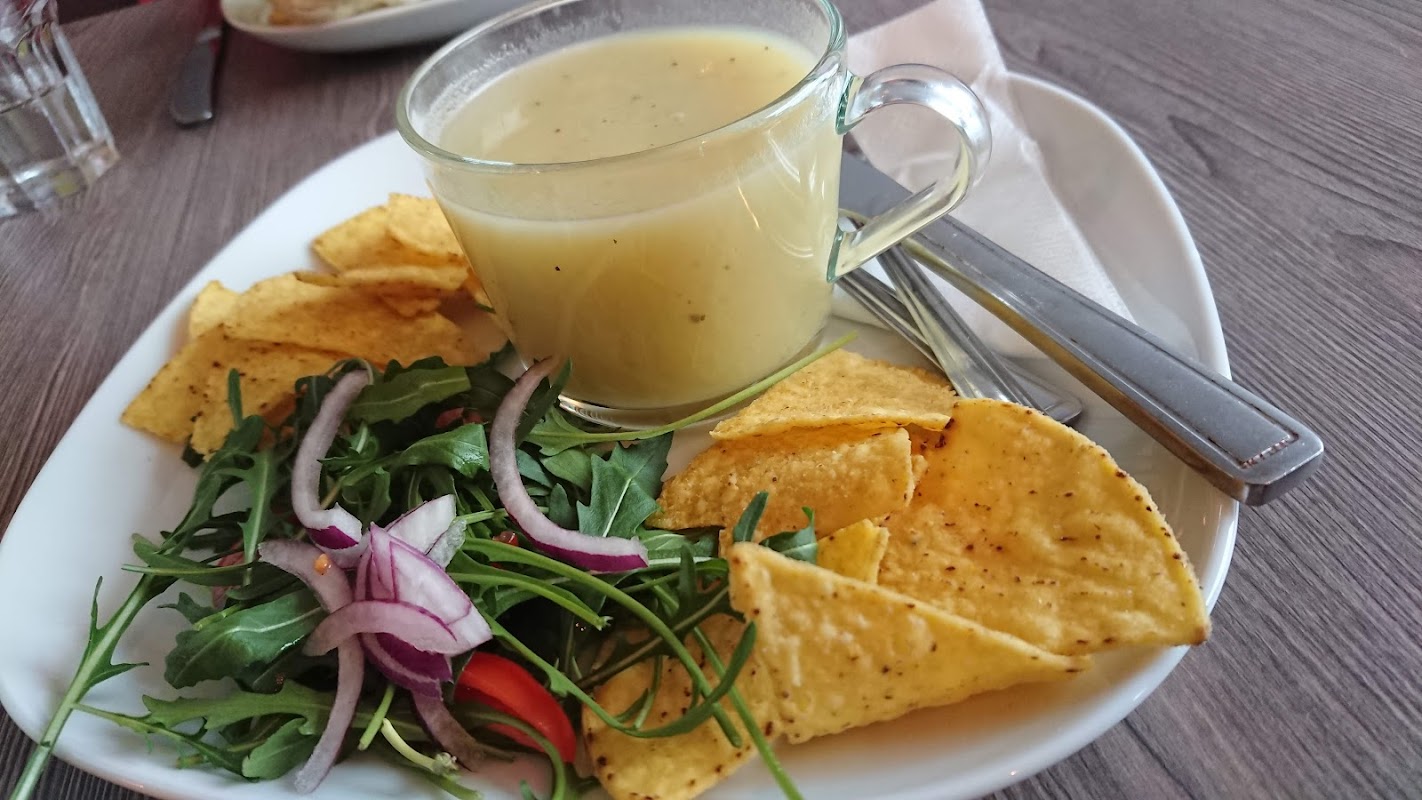
Mardy Crumb Coffee Lounge
Mardy Crumb Coffee Lounge in Mirfield is a highly-rated cafe known for its delicious homemade food, exquisite cakes, and warm, friendly atmosphere.
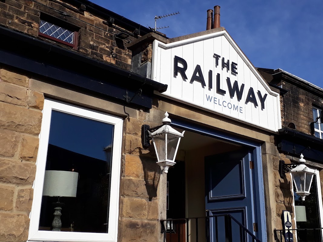
Railway Mirfield
Discover The Railway Mirfield, a traditional pub offering exceptional beer and a comfortable, welcoming atmosphere.

Interactive Map
View accommodation, attractions, restaurants, and events on the map
Geographic Facts
This town is geographically within the following regions:
- Population
- 19,759
- Postcode
- WF14
- Administrative area
- Kirklees
- Dialing code
- 01924
- Timezone
- UTC±00:00
- Website
- mirfieldtowncouncil.gov.uk
Data sourced from Wikidata and verified public records
Upcoming Events in Mirfield
View All Events in Mirfield →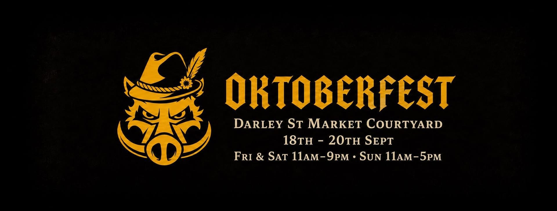


Latest news from Mirfield
All Local News →
Richmond House Vets Relocates to Mirfield with Upgraded Facilities on 13th August 2026
Richmond House Vets has relocated to Mirfield, enhancing pet care with upgraded facilities and a dedicated team. Discover the new practice and its commitment to quality care.

The Name Of The Secret Yorkshire Cafe In Mirfield That's Famous For Its Cakes?

What Makes The Yorkshire Town Of Mirfield A Proud, Patriotic Place To Visit?
Walkshire in Mirfield
More Walks in Mirfield →
Walk: Huddersfield Broad Canal
Enjoy this 4 mile stroll on the Huddersfield Broad Canal built as the connecting canal for the long distance Huddersfield Narrow Canal and the Calder and Aire navigation through the town centre. The Route what3words for start point: ///hoot.seats.fried Start Point: Huddersfield Finish Point: Bradley Distance: 4 Miles GPX Route Map huddersfield-broad-canalDownload Walk Description A peaceful and tranquil walk through the industrial heartland of Huddersfield's past. The walk starts in the centre of the town and winds it's way up to Bradley. Make sure you look out for all the former warehouses and canal building as you work your way on the canal. You can't miss the amazing engineering of the Turnbridge lift bridge, it's a marvel of the age! Towards the end of the end of this excursion you'll come to the 18th century Colne bridge another fine example of the period engineering still in use today.

Walk: The Spen Valley Greenway
This fantastic urban walk is along the old Spen Valley railway line that used to link Bradford to London directly, via Wakefield. This was closed in the 1960's as part of the Beeching cuts but has been revitalised by being appropriated as walk and cycle route. The Route spen-valley-greenwayDownload what3words for start point: ///congratulations.beams.junior Start Point: Low Moor Finish Point: Dewsbury Distance: 8 Miles GPX Route Map Walk Description Starting at Low Moor Train station in the outskirts of Bradford you follow the route of the railway line. This is a paved all the way and an easy walk for all. Enjoy the heritage of the bygone railway age as you pass through several tunnels and sights of former stations. Keep an eye out for the signs of where they used to be sighted by spotting old platforms, stairways and the odd lantern enroute. The route runs parallel to the M606 and actually crossed the M62 on an old railway bridge, there aren't many walks that cut over a major motorway! Follow the route and enjoy the art installations, including sheep and many call backs to the old usage of this stroll. Follow this through Cleckheaton, Heckmondwike, Liversedge and on towards Dewsbury where at the end of the walk you can join the river walk into the centre of the town.

Walk: Mirfield Boundary Walk
A fabulous stroll around the outskirts of the town of Mirfield, West Yorkshire - just near Dewsbury. The Route what3words for start point: ///useful.broke.jelly Start Point: Mirfield Finish Point: Mirfield Distance: 11 Miles GPX Route Map mirfieldboundarywalkDownload Walk Description An 11 mile circular route which can be started at many locations and also has options to cut short if the need arises. The route follows most of the former Urban District Boundary of Mirfield before the creation of Kirklees in 1974. The town has many historical and cultural links which the walk explores also passing the Star Inn, where a member of the Luddite rising was taken to die whilst seeking information from him. The site of the former Verona fathers catholic seminary now a world renowned school for those with profound challenges, looking across at the historic Kirklees estate from which the Metropolitan Council took its name but which ironically is outside their boundaries. We cross the River Calder on a former toll bridge and site of a historic ford, taking in views across the wider Pennines and on a clear day the power stations and Goole Docks to the East. Mirfield has industry, rail links and in recent years - thanks to Welcome to Yorkshire’s Grand Depart - saw our Ambassador Brian Robinson BEM recognised as Britain’s first Tour de France stage winner. It is also the birthplace of Hollywood legend Sir Patrick Stewart famous for playing Captain Jean-Luc Picard in Star Trek; The Next Generation. So why don't you boldly go and try out this great walk.