
Discover North Ferriby
North Ferriby is a village located in the East Riding of Yorkshire, governed by the East Riding of Yorkshire Council. It has a population of approximately 4,000 residents and falls within the HU14 postal code. Notably, North Ferriby is known for its ancient boat finds, highlighting its historical maritime significance.
Explore the map below to discover accommodation, attractions, restaurants, and live events across North Ferriby. Scroll down to browse featured listings and plan your perfect visit.
Property in North Ferriby
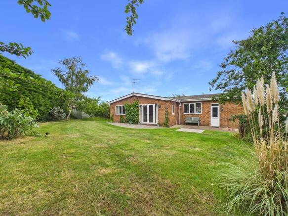
Explore 53 properties in North Ferriby — homes and commercial listings for sale and to rent. Start with detached houses, semi-detached houses, bungalows, or flats & apartments.
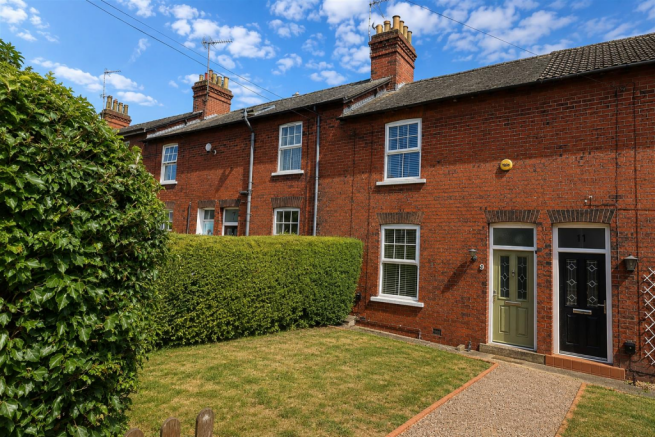
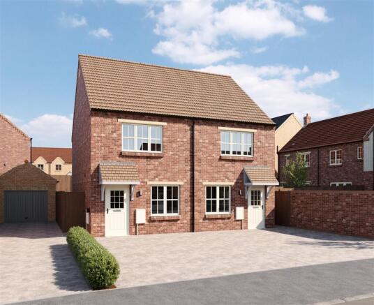
2 Bed Detached House - The Farndale, North-ferriby
£247,500
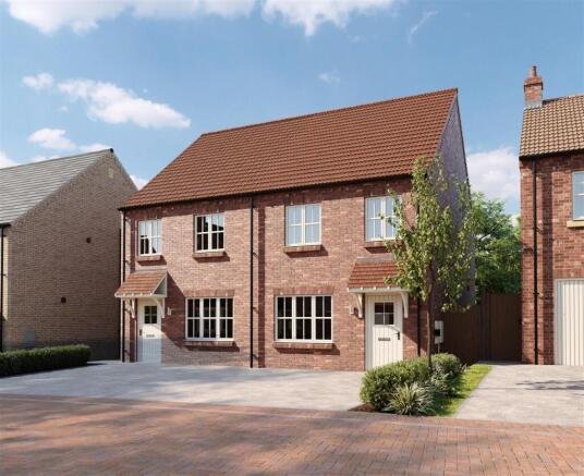
3 Bed Detached House - The Rosedale, North-ferriby
£305,000

3 Bed Detached House - The Dalton, North-ferriby
£315,000
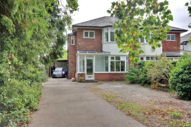
3 Bed Semi-Detached House - Humberdale Drive, North-ferriby
£320,000
Stay in North Ferriby


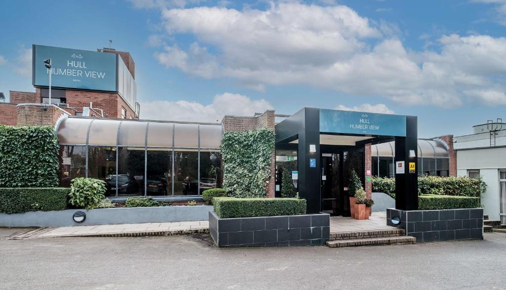
Hull Humber View Hotel, BW Signature Collection


Things to Do in North Ferriby
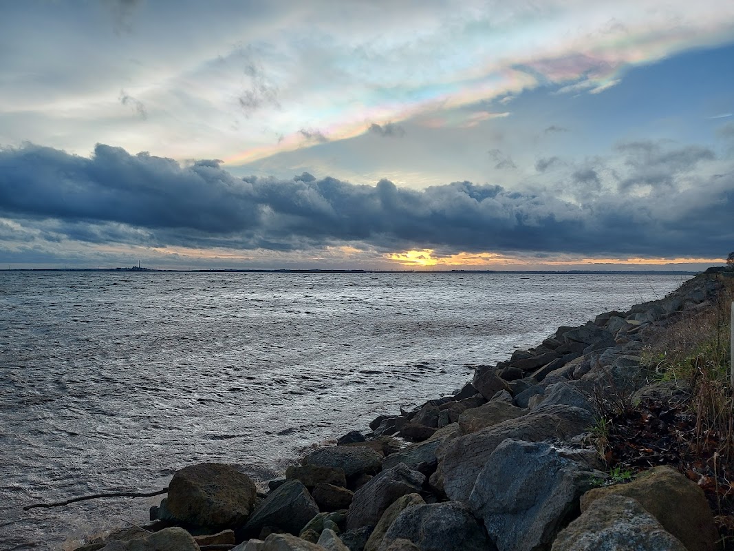
Ferriby Foreshore carpark & viewing area.
Ferriby Foreshore carpark & viewing area in North Ferriby offers free parking, making it an ideal spot for tourists to enjoy stunning views over the River Humber. Perfect for birdwatching and scenic walks, this location is a great starting point for exploring the Humber Country Park and nearby attractions.
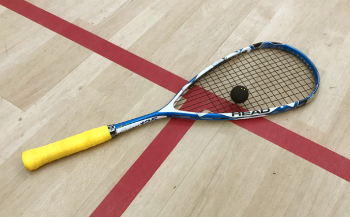
Ferriby Hall Squash & Racketball Club
Located in the charming village of North Ferriby, the Ferriby Hall Squash & Racketball Club offers convenient parking for visitors attending squash tournaments or enjoying the club's excellent facilities. While the payment options are not specified, it is likely a standard pay-and-display system, ensuring easy access for both local and visiting sports enthusiasts.
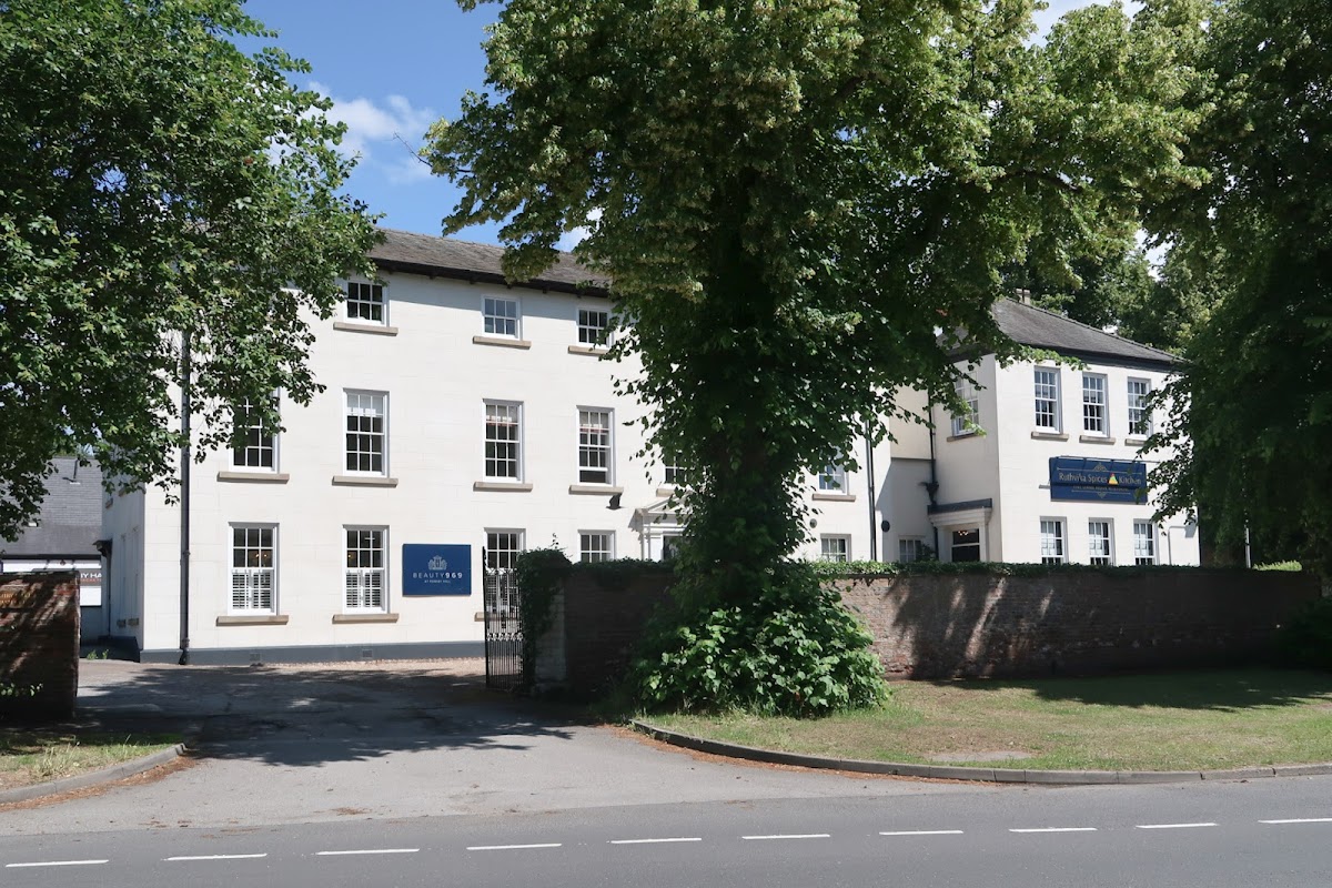
Beauty969
Located in the charming village of North Ferriby, Beauty969 offers convenient pay-and-display parking at Ferriby Hall, making it easy for tourists to enjoy a relaxing day at this highly-rated beauty salon. Whether you're visiting for a nail appointment or a soothing spa treatment, you'll find the parking facilities straightforward and accessible.
Food & Drink

Abbyo's Ice Cream Van
Indulge in award-winning gelato and delicious ice cream, including fantastic vegan options, from Abbyo's beloved van in Hessle.

Shell
Shell Grand Dale is a 24-hour petrol station on Melton Road, North Ferriby, providing fuel and a convenient shop for travellers.

Sumo Pan Asian Hessle
Experience a delightful culinary journey at Sumo Pan Asian Hessle, renowned for its delicious Asian dishes and welcoming atmosphere.

Interactive Map
View accommodation, attractions, restaurants, and events on the map
Geographic Facts
This village is geographically within the following regions:
- Population
- 3,963
- Postcode
- HU14
- Administrative area
- East Riding of Yorkshire
- Dialing code
- 01482
Data sourced from Wikidata and verified public records




Latest news from North Ferriby
All Local News →
Neptune Sonar Expands to New Facility at Evolve Business Park in East Yorkshire
Neptune Sonar is expanding into a new 38,000 sq ft facility in East Yorkshire, boosting local economy and job opportunities in the maritime technology sector.

From Local Farm to National Shelves: How a North Yorkshire Rapeseed Oil Business Wins Listing with Garden Centre Chain
A North Yorkshire farm business, Charlie & Ivy's, has landed a major nationwide listing! Find their award-winning rapeseed oil bread dippers in Dobbies now.
Walkshire in North Ferriby
More Walks in North Ferriby →
Walk: Trans Pennine Trail
The Trans Pennine Trail is a long-distance path running from Southport on the West coast to Hornsea on the East Coast, across Northern England entirely on surfaced paths and using only gentle gradients. The Route Start Point: Southport Finish Point: Hornsea Distance: 208 Miles GPX Route Map transpenninetrailDownload Walk Description The main west–east trail starts at Southport, then heads south through the suburbs of Liverpool, through Widnes, Warrington, Manchester, Stockport and Hadfield. It then crosses the Peak District, heading up the Longdendale valley via the Longdendale Trail to Woodhead, then down through Dunford Bridge and Penistone, Doncaster, Selby, Hessle, Hull and Hornsea. This route covers 207 miles (333.1 km). Between Southport and Selby it is National Cycle Network, Route 62 and from Selby to Hornsea, NCN Route 65.

Walk: Humber Bridge Country Park
A fabulous park for the family full of trails and activities to keep all the family engaged with stunning views of the estuary. The Route what3words for start point: ///ripe.usual.wakes Start Point: Humber Bridge Country Park Finish Point: Humber Bridge Country Park Distance: 2 Miles GPX Route Map humber-bridge-country-parkDownload Walk Description This lovely park has three different trails to walk each laid out by following hand carved animals such such owls, frogs and rabbits. There is also a sculpture trail to follow and enjoy the installations in a fabulous setting. Can you spot all ten? A perfect family stroll.

Walk: Yorkshire Wolds Way National Trail
One of the flagship walking routes in Yorkshire, the Yorkshire Wolds Way runs for 79 miles across the beautiful and peaceful Yorkshire Wolds between Hessle, near the Humber Bridge and Filey on the North Yorkshire coast. The Route what3words for start point: ///manliness.looked.complains Start Point: Hessle Finish Point: Filey Brigg Distance: 79 Miles GPX Route Map yorkshire-wolds-way-1Download Walk Description The Yorkshire Wolds Way is one of England’s National Trails. Deservedly so for the outstanding landscape and beautiful countryside along the full length of its 79 miles between Hessle near the Humber Bridge and Filey on the North Yorkshire Coast. Renowned for its peace and tranquillity, the walk hits top marks for anyone looking to maximise their wellbeing. People love the stunning dry grass valleys that the path bends and curves its way along in harmony with nature. Poetry benches are dotted along the route – a place to relax and contemplate life, the universe and everything! There is a warm welcome and often a pub in villages along the way, with a chance for a friendly chat with the locals over a decent pint of Yorkshire ale.

Walk: Weltondale
This short walk takes you through the woods of Weltondale near Hull and past the Wauldby Manor Farm. The route is within distance of the Raikes mausoleum (more below). Route Start Point: what3words for start point: ///croutons.lightbulb.holdings Distance: 3 miles Start Location Name: Welton Finish Location: Welton OS Route Map & GPX File Welton DaleDownload Description Constructed in 1818 for Robert Raikes, the Raikes Mausoleum is located at the north end of Welton Dale, about 1 mile (1.6 km) from Welton village and Welton House. The structure is circular, featuring a shallow domed roof atop a frieze adorned with triglyphs, and it stands on a circular plinth that was originally railed. This walk runs along part of the Yorkshire Wolds Way.