
Discover Leeds
Leeds is a city in West Yorkshire, England, located at coordinates 53.7975, -1.5436. With an area of 551.7 km² and a population of approximately 536,280, it serves as a major cultural and economic hub. The city is known for its shopping districts and vibrant nightlife.
Explore the map below to discover accommodation, attractions, restaurants, and live events across Leeds. Scroll down to browse featured listings and plan your perfect visit.
Property in Leeds
Explore 1,167 properties in Leeds — homes and commercial listings for sale and to rent. Start with terraced houses, detached houses, detached houses, or semi-detached houses.
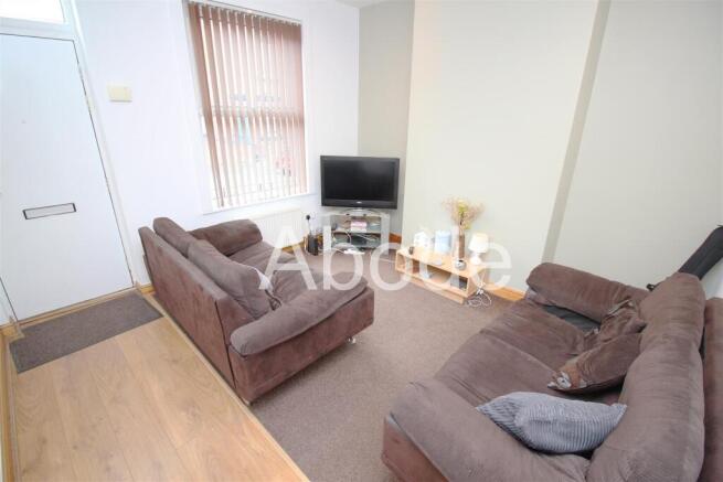
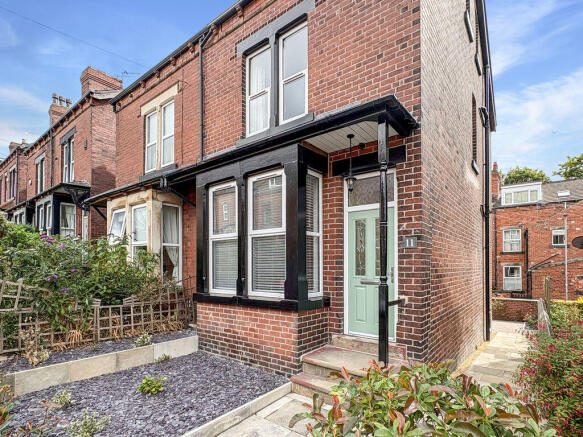
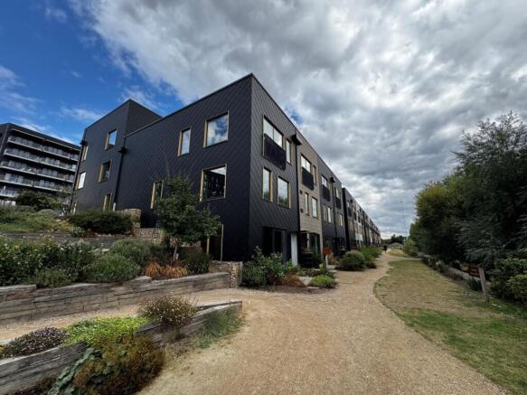
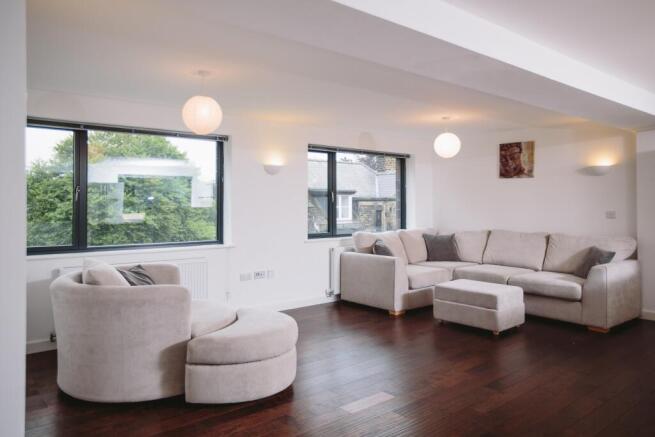
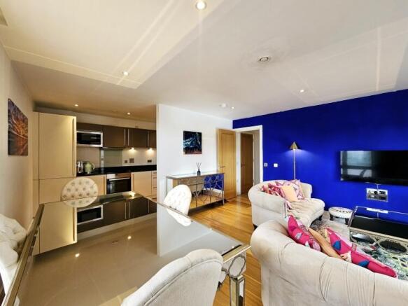
2 Bed Flat - Hollies Park Court, Leeds
£1,650 pcm
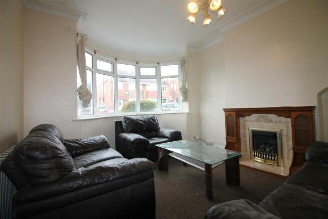
2 Bed Flat - Watermans Place Wharf Approach LS1, Leeds
£1,650 pcm
Stay in Leeds
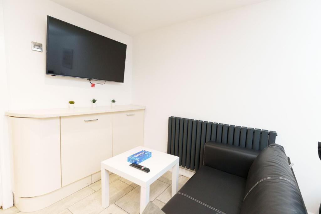
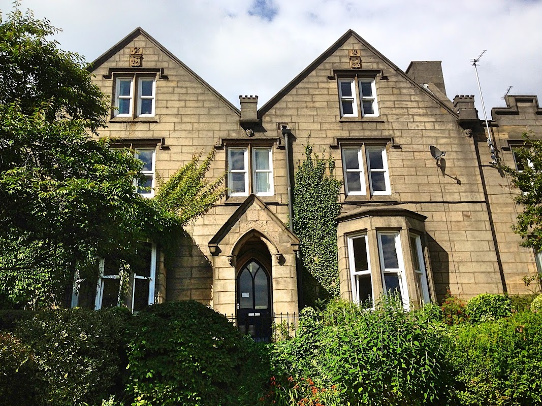
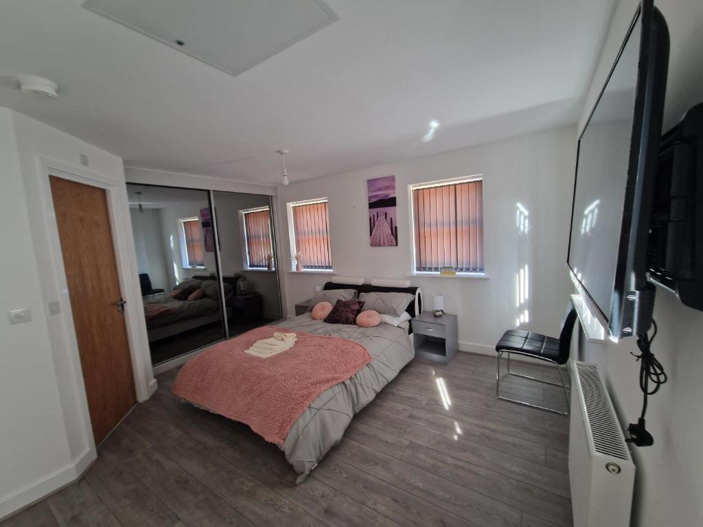
7 Burnby Close,Leeds,LS14 1GA
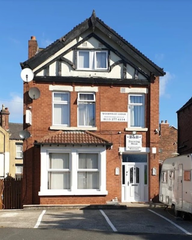
Woodville Lodge
Woodville Lodge offers warm hospitality and comfortable stays in Leeds, highly praised for its friendly service and cosy rooms.
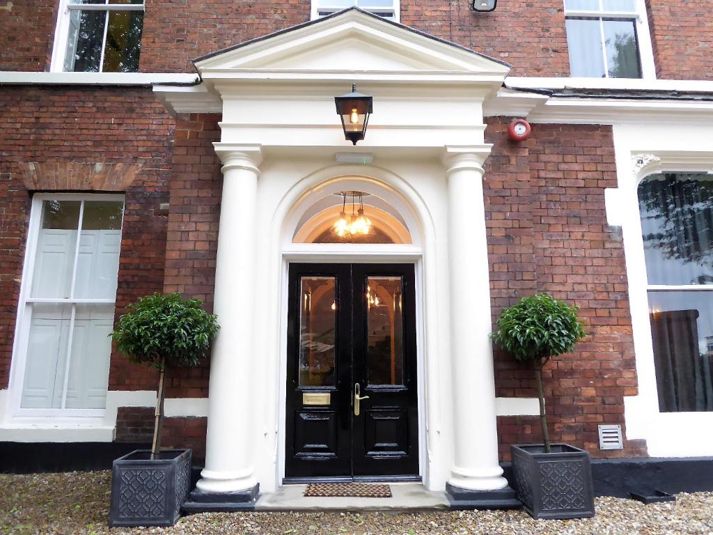
The Scott at Claremont Serviced Apartments
Things to Do in Leeds
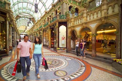
Leeds Tourist Information Centre
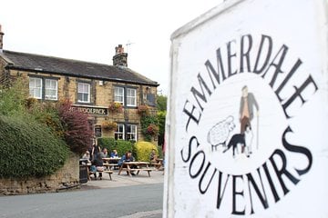

LIBERTA MASSAGE
Experience profound relaxation and therapeutic massage at Liberta Massage in Leeds, highly rated for its exceptional service.
Browse by Type
Food & Drink
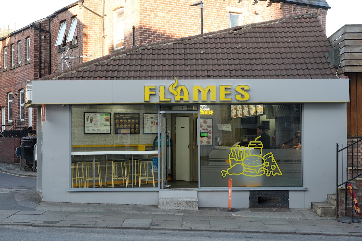
Flames Leeds
Flames Leeds offers a wide and varied menu of takeaway dishes, including burgers and pizzas, conveniently located on Woodhouse Lane.

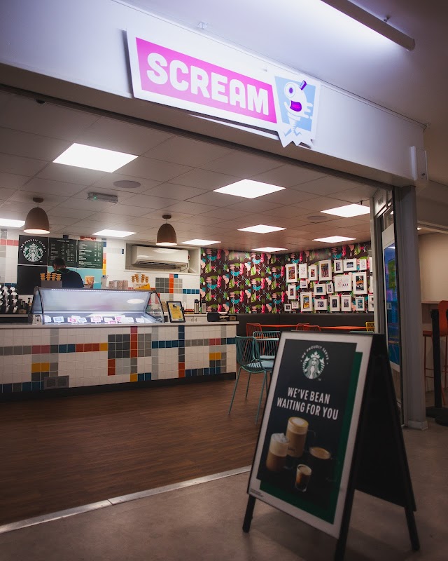
Scream Leeds Uni
Discover Scream Leeds Uni, a popular ice cream shop offering delightful scoops right within the Leeds University Union.

Interactive Map
View accommodation, attractions, restaurants, and events on the map
Areas of Leeds
Explore the different areas and suburbs of Leeds
Geographic Facts
This city is geographically within the following regions:
- Population
- 536,280
- Area
- 551.7 km²
- Elevation
- 51 m
- Dialing code
- 0113
- Website
- leeds.gov.uk
Data sourced from Wikidata and verified public records
Upcoming Events in Leeds
View All Events in Leeds →




Latest news from Leeds
All Local News →
Propaganda Brand Consultancy Hires Two Junior Team Members Amid AI Job Cuts
Leeds-based Propaganda Brand Consultancy is prioritising junior talent amidst AI-driven job cuts. Their recent hires reflect a commitment to nurturing creativity and innovation.

Leeds United Completes Major Facility Upgrades Ahead of New Premier League Season
Leeds United has transformed its facilities with significant upgrades at Elland Road and Thorp Arch, enhancing the experience for fans and players ahead of the new Premier League season.

Yorkshire Leaders Unveil Plans to Address Construction Skills Shortages on September 11, 2026
Leaders in Yorkshire have launched the Construction Technical Excellence College network to address critical skills shortages in the construction sector, aiming to train 40,000 workers by 2029.

Yorkshire Dog Food Brand Seeks Nominations for Pure Fest's Guest of Honour by 20 September 2026
A Yorkshire dog food brand is seeking nominations for the most deserving dog to be honoured at Pure Fest on 27 September 2026. Celebrate canine contributions while supporting a good cause.
Local Guides & Stories
All Leeds Guides →
Last-minute getaways from Leeds: Booking Spontaneous Trips
Looking for a last-minute escape from Leeds? Just Go! Holidays offers UK & Europe coach breaks with local pickup. Limited availability, book now for a great deal!

Your Complete Guide to the Great Jewel Heist in Leeds Family Adventure
Discover the Great Jewel Heist in Leeds! A free, family-friendly maths clue trail turns the city centre into an interactive playground for curious kids.

Leeds Careers Fair - 18th March
Join the Leeds Careers Fair at Elland Road Stadium on 18th March 2026. A great opportunity to discover new jobs, meet employers, and kick-start your career.

Ireland from Leeds - Save £50pp on Coach Tours
Explore Ireland with Just Go! Holidays. Get up to £50 off coach holidays departing from Leeds. Discover stunning landscapes on an amazing adventure. Book now!
Walkshire in Leeds
More Walks in Leeds →
Walk: Meanwood
Take a break in the heart of Leeds with this jaunt through Meanwood Grove between Weetwood and Meanwood. This walk goes along a part of The Dales Way. The Route What3words for Start Point: ///rang.wheels.enhancement Start Point: Bus stops on either Green Road or Green View, Meanwood, Leeds LS6 4JZ Finish Point: Bus stops on either Green Road or Green View, Meanwood, Leeds LS6 4JZ Distance: 4 Miles GPX Route Map walkshiremeanwoodDownload Walk Description From either the bus stop on Green Road or Green View, walk away from the shops and towards Church Lane. Turn left onto Church Lane, then left onto Mill Pond Lane, and immediately right onto Mill Pond Close. When the road ends, carry on walking between the two stone buildings, past the pond on the right and then turn right at the cluster of trees. Follow this straight path along the back of the allotments, and then before the access path reaches the next road, turn right to follow the Meanwood Valley Trail. Cross over Meanwood Beck via the footbridge and carry straight on. At the crossroads of paths, continue straight on, and follow the beck until you meet an access road. Turn left and cross the beck, walking along the very narrow Weetwood Mill Lane. Turn right onto Weetwood Lane and then turn right again into the entrance for The Hollies. Turn left to follow the public footpath along the access road, and continue as it enters the wood. Keep following this main, clear path through the wood, not branching off left or right, but following it as it steadily turns to the left, and eventually you reach A6120 Ring Road Adel. Turn right here, and walk along the side of the Ring Road. Just past a bus stop, turn right down Parkside Road. Continue along Parkside Road, and turn right through the metal stile on the public footpath. Follow the clear path alongside Meanwood Beck and into Meanwood Grove wood, to eventually walk alongside a row of old terrace houses nestled in the wood. Follow the access road down to Green Lane next to the school, and then turn right down to the public footpath as the road turns to the left. Turn right, then left over the bridge and now you retrace your steps back to the bus stops on Green Road / Green View.

Walk: Leeds Dock to Knostrop Lock
A riverside walk from the heart of Leeds Dock to Knostrop Lock. The Route what3words for start point: ///hurray.social.museum Start Point: Leeds Dock Finish Point: Leeds Dock Distance: 4 Miles GPX Route Map leedstoknostropDownload Walk Description Starting the walk from Leeds Dock, situated on the Aire & Calder Navigation, the walk is easy to navigate by following the riverside path to Knostrop Lock and Thwaites Mill. This route makes up part of the Trans Pennine Trail. As you leave the city centre from Leeds Dock look out for the street art that has been installed on the riverside. You will pass under the new rust coloured steel pedestrian bridge, which opened in 2019, linking the CITU development to the heart of the city. Moving further out you will walk around the edge of the Knostrop Quay housing development. After passing the estate you will need to cross the pedestrian bridge to follow the riverside path on the far side, where the route becomes more of a green corridor. Following the path, you will cross the river again on a footbridge bridge and arrive at Knostrop Lock. Continue downstream, passing the small stone circle, until you reach Thwaite Watermill. Once you reach the mill you can follow the road round and pick the path back up at Knostrop Lock. You will need to cross the lock before retracing your steps back to Leeds Dock.

Walk: Armley to Kirkstall Bridge
A walk in Leeds out and back walk from Armley to Kirkstall bridge along the Leeds and Liverpool Canal Towpath. The Route what3words reference: ///pardon.path.waddled Start Point: Viaduct Road, Armley Finish Point: Kirkstall Bridge, Kirkstall Distance: 3.3 Miles GPX Route Map armleytokirkstallDownload Walk Description This walk is an out and back walk from Viaduct Road in Armley up to Kirkstall Bridge following the Leeds and Liverpool Canal. The first half of the walk is on smooth concrete and the second half gives you the option of a rough towpath or the cycle route travelling along side. As you get onto the canal, turn right away from Leeds city centre and keep the canal to your left. The path is wide and smooth with some short sections of cobbles under the bridges. You will pass by the historic Armley Mills as the towpath winds through the Aire Valley. A short distance into the walk you will approach the hills that traverse the entrances to Aire Valley Marina which allows boats to get on the canal. Just after Aire Valley Marina you will come to a bridge. If you take the right-hand path, just before the bridge, you can follow the direction of the canal into Kirkstall on a wide flat path that forms part of the cycle path. Alternatively, you can use the cobblestone path up and over the bridge to explore Armley Park and the wooded canal path. Once you have passed the Marina, you will reach a bridge where the cycle path re-joins the towpath. There are a number of cobbles on the path under the bridge. When you reach Kirkstall Bridge Car Park where you can either leave the canal, continue to explore the towpath as it travels past Bramley Fall Woods or retrace your steps. At Kirkstall Bridge you are just a few minutes’ walk from the Kirkstall Bridge Inn, a perfect place to stop for refreshment and enjoy the waterside garden!

Water and Industry in Kirkstall Valley Walk
This walk takes you between two fish passes. Before summer 2020 fish hoping to reach the gravel beds in shallower parts of the upland river to lay their eggs were stopped by the weirs at Kirkstall Abbey and Armley Mills. The Route Start Point: Kirkstall Abbey Finish Point: Kirkstall Abbey Distance: 2.1 miles GPX Route Map dnaire-water-and-industry-in-kirkstall-valleyDownload Walk Description what3words for start point: ///advice.silver.beans This walk takes you between two fish passes. Before summer 2020 fish hoping to reach the gravel beds in shallower parts of the upland river to lay their eggs were stopped by the weirs at Kirkstall Abbey and Armley Mills. Many fish need to move within the river to feed, breed and shelter. One of the fish that will have travelled the furthest is the Atlantic salmon. Salmon will have travelled from the Atlantic Ocean around Greenland to lay their eggs in the shallow upland streams they are born in. These fish pass help connect 60km of river habitat. Their construction will allow salmon to return after an absence of over 150 years. Food & Facilities The Kirkstall Bridge Inn serves food & there is a café at Kirkstall Abbey.