
village
Discover Beltoft
Beltoft is a village in Yorkshire, England, governed by North Lincolnshire Council. Located within the DN9 postcode area, it lies at coordinates 53.5511, -0.7792. Known for its rural landscape, Beltoft offers insight into traditional village life and serves as a peaceful retreat in the North Lincolnshire countryside.
Explore the map below to discover accommodation, attractions, restaurants, and live events across Beltoft. Scroll down to browse featured listings and plan your perfect visit.
Stay in Beltoft
Hotel
From
£4408
per night


Hotel
From
£3805
per night

Hotel
From
£565
per night
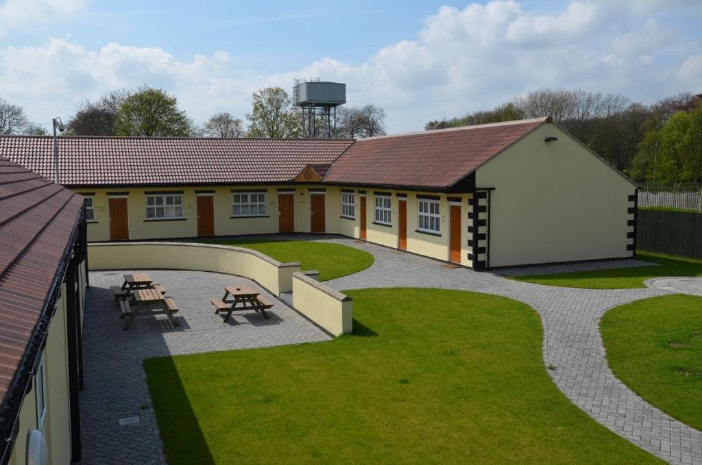
The Stables at Owlett Hall
📍4.6m from the centre of Beltoft

Apartment
Providence Apartment, Doncaster
Epworth, DN9 1LA, United Kingdom
📍2.8m from the centre of Beltoft🛏️1 Bed
WiFiParking
Browse by Type
Things to Do in Beltoft
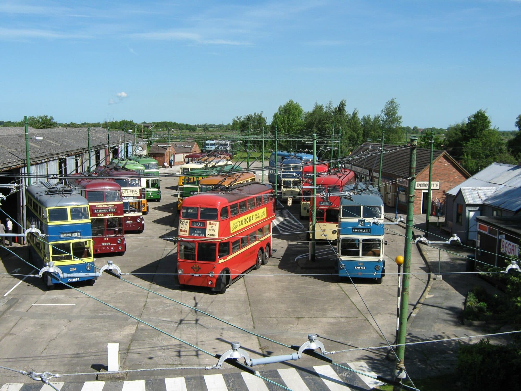
Museum
The Trolleybus Museum at Sandtoft
Belton Road, Sandtoft, Doncaster, South Yorkshire, DN8 5SX
📍3.8m from the centre of Beltoft
Browse by Type
Food & Drink
Loading restaurants and pubs...
🗺️
Interactive Map
View accommodation, attractions, restaurants, and events on the map