Discover Ganton
Ganton is a village located in North Yorkshire, governed by North Yorkshire Council (formerly Scarborough). It has a population of 215 residents and falls under the YO12 postcode. The village is notable for its historical ties to agriculture and is situated near the A64, providing easy access to the surrounding countryside.
Explore the map below to discover accommodation, attractions, restaurants, and live events across Ganton. Scroll down to browse featured listings and plan your perfect visit.
Stay in Ganton
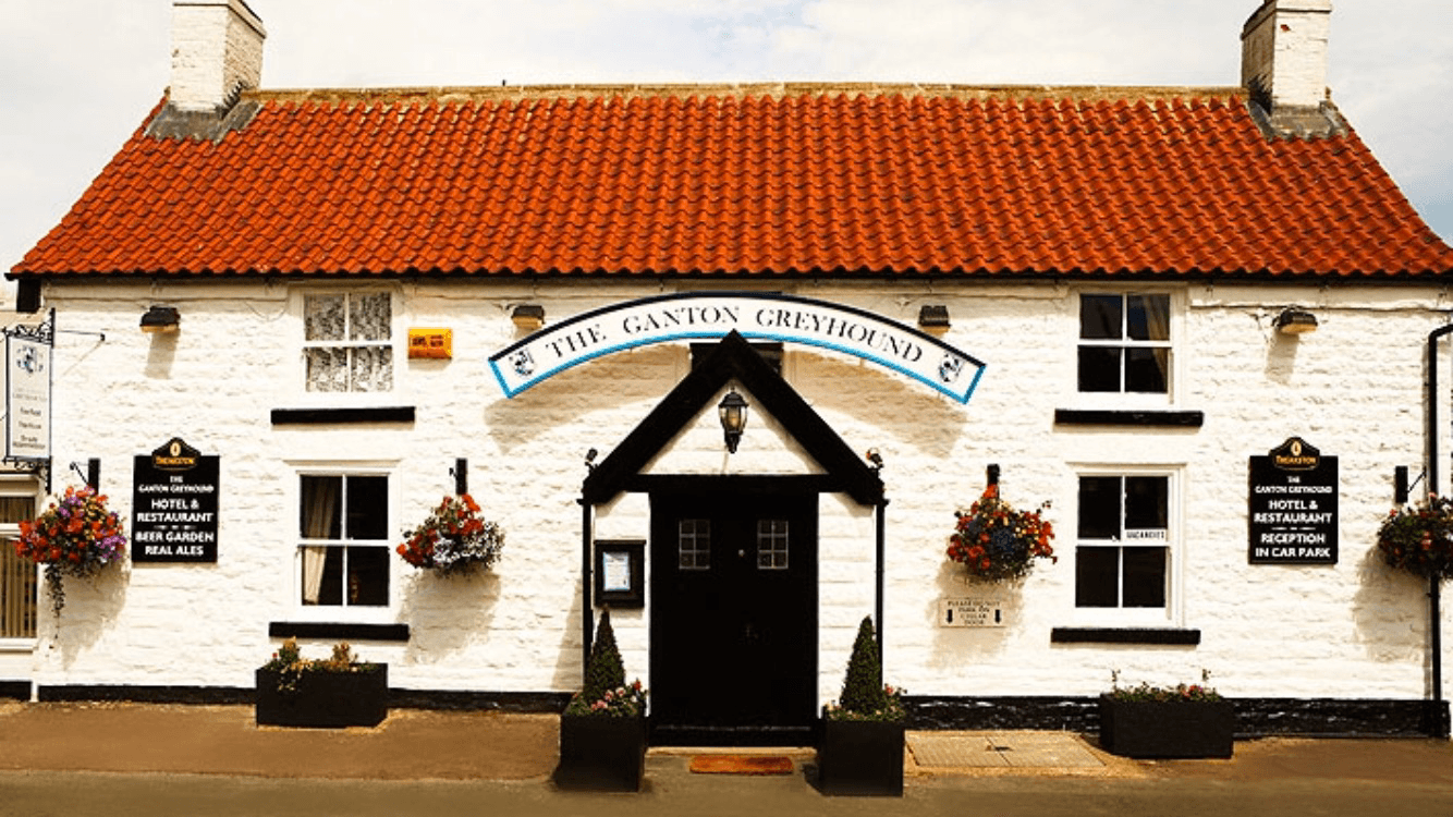
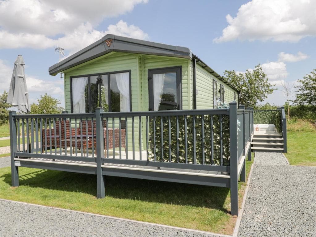
The Ganton Greyhound
The Ganton Greyhound provides comfortable accommodation in ganton.


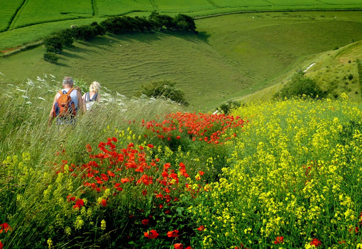
Things to Do in Ganton
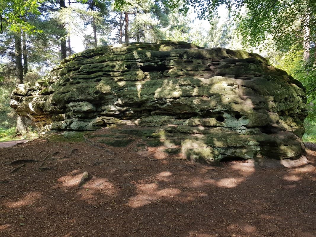
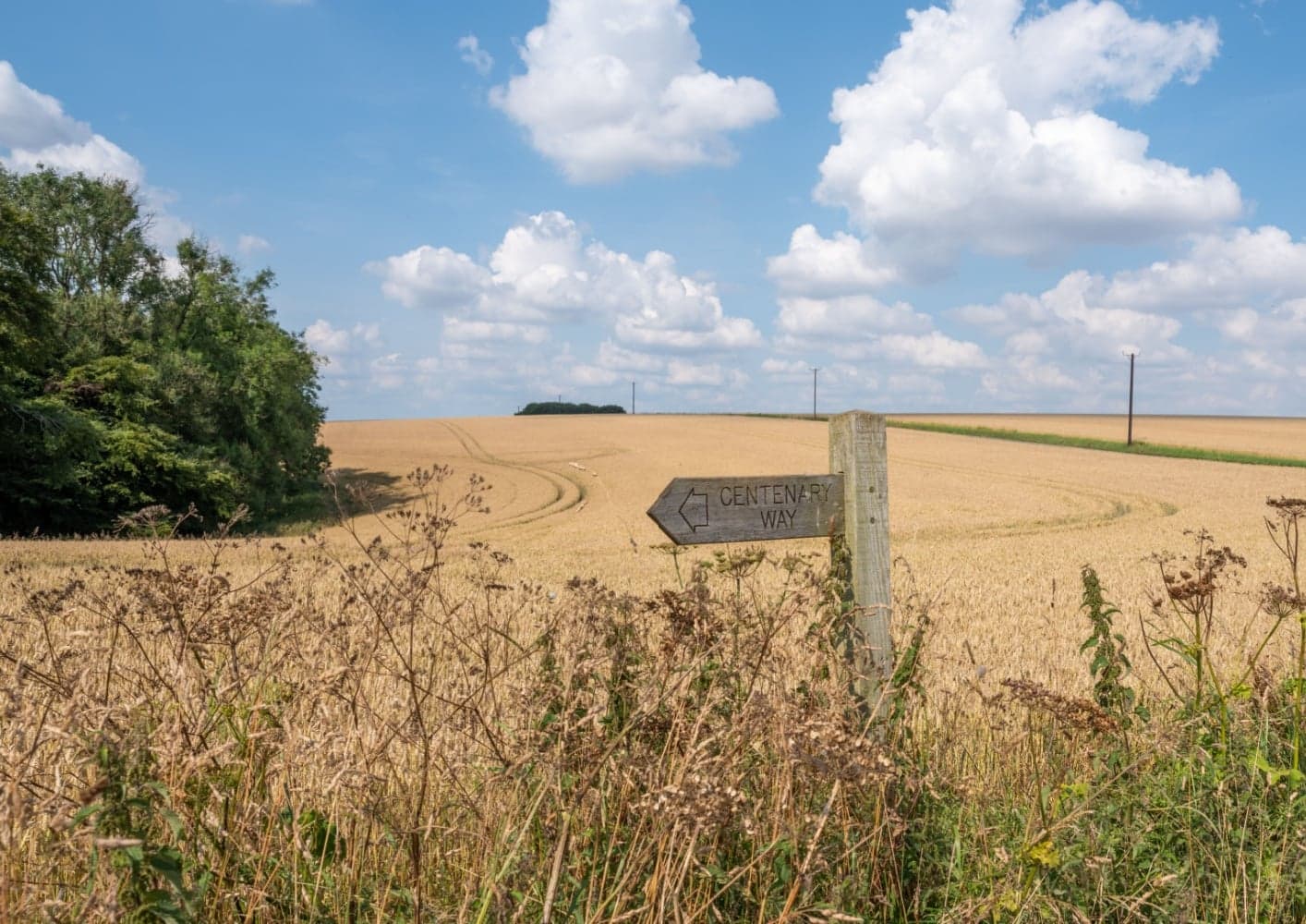
Adderstone Field
Discover Adderstone Field, a perfect spot for family woodland adventures, picnics, spacious play, and memorable open-air concerts.
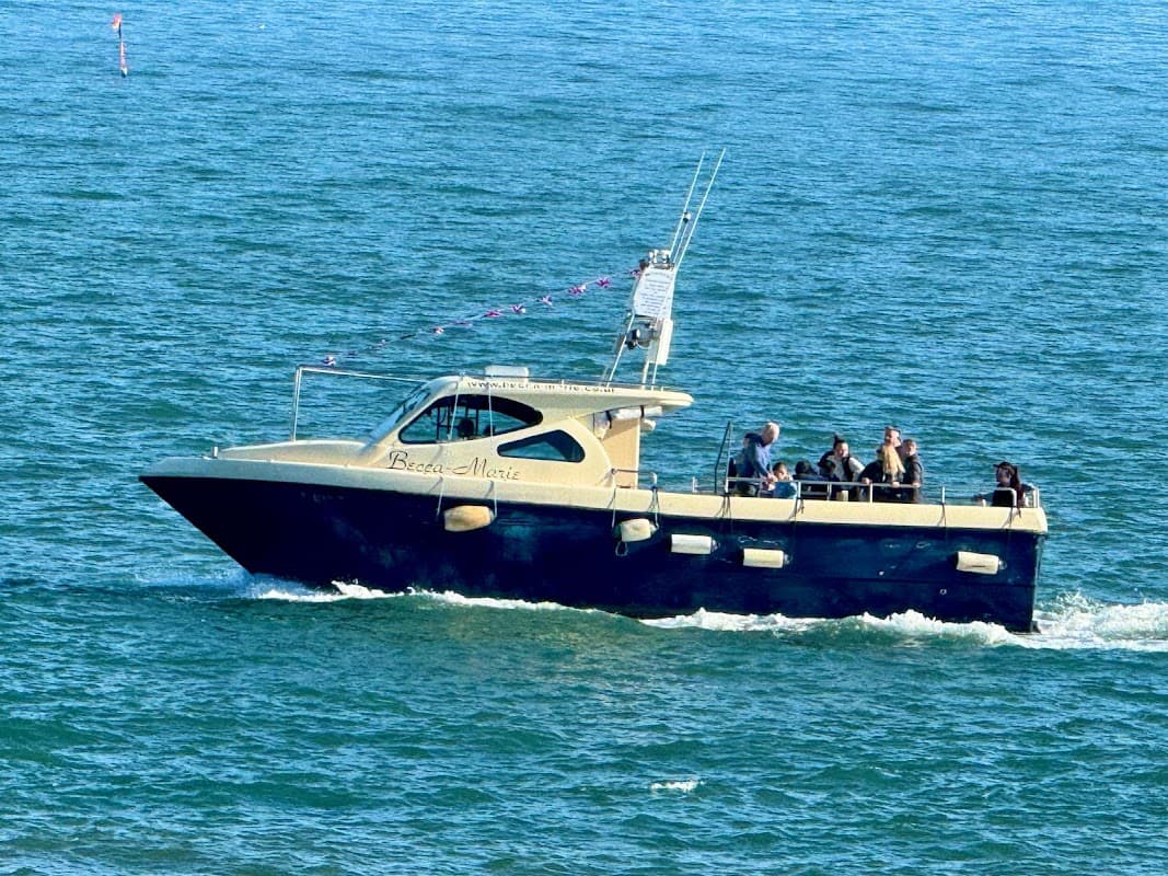
Becca-marie Sealife Safari
Embark on an unforgettable sealife safari from Scarborough, spotting seals, dolphins, and porpoises on a guided boat trip.
Browse by Type
Food & Drink
The Ganton Greyhound
The Ganton Greyhound offers great dining in ganton.

The Hare and Hounds
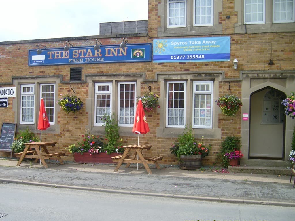
The Star Inn
The Star Inn in Nafferton offers a delightful combination of traditional pub charm and Greek culinary delights. Located conveniently in the village, it provides easy access for visitors looking to explore the local area while enjoying hearty meals and comfortable B&B accommodations. Parking is likely to be pay-and-display, typical of village settings.

Interactive Map
View accommodation, attractions, restaurants, and events on the map
Geographic Facts
This village is geographically within the following regions:
- Population
- 215
- Postcode
- YO12
- Administrative area
- North Yorkshire Council (formerly Ryedale)
Data sourced from Wikidata and verified public records
Upcoming Events in Ganton


Browse by Type