
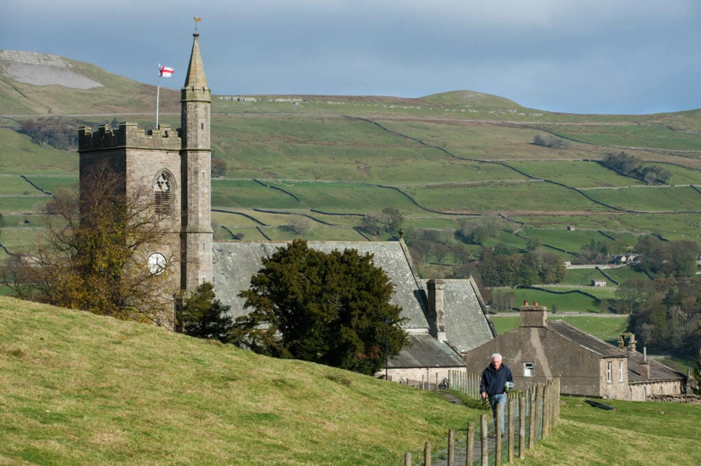
A calm walk through the town of Hawes. With plenty a shops to see on your way through, this walk is perfect for an afternoon out.
The Route
- what3words for start point: ///trusts.forces.uppermost
- Start / Finish Point: Car park, Burtersett Road Station Yard, Hawes DL8 3NT
- Distance: 3.1 Miles
GPX Route Map
Walk Description
Starting at the car park, follow the road through Hawes, crossing Gayle Beck. After approximately 60m from the bridge, turn left up the cobbled footpath signposted to Gayle. The next 70m of this route are cobbled with a gradient of 1:7. After this point, the footpath levels out with some slight gradients up to 1:10. Most of the length is constructed of stone flags at a width of 100cm. There is a rest area halfway along the route.
