
Discover Kildale
Kildale is a village located in North Yorkshire, governed by North Yorkshire Council. It has a population of 147 residents and falls within the YO21 postcode area. Situated within the North York Moors National Park, Kildale is known for its scenic landscapes and proximity to historical sites like the Cleveland Way.
Explore the map below to discover accommodation, attractions, restaurants, and live events across Kildale. Scroll down to browse featured listings and plan your perfect visit.
Stay in Kildale


The Paddock

OYO The Leven


Things to Do in Kildale
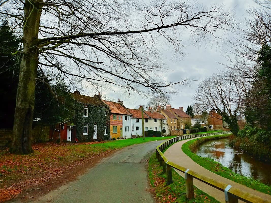
Levenside
Discover Levenside in Stokesley, a picturesque park offering lovely riverside walks and a tranquil escape in a charming market town.
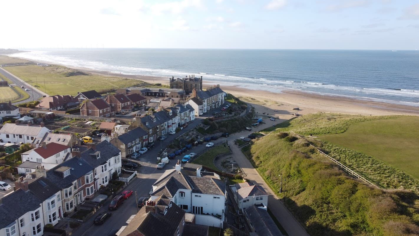
Marske Valley Gardens
Marske Valley Gardens offers a serene escape in Marske-by-the-Sea, with lush greenery and a scenic walkway leading directly to the beach. Ideal for families and nature lovers, this peaceful spot is perfect for a leisurely stroll or a picnic, and parking is conveniently free for visitors.
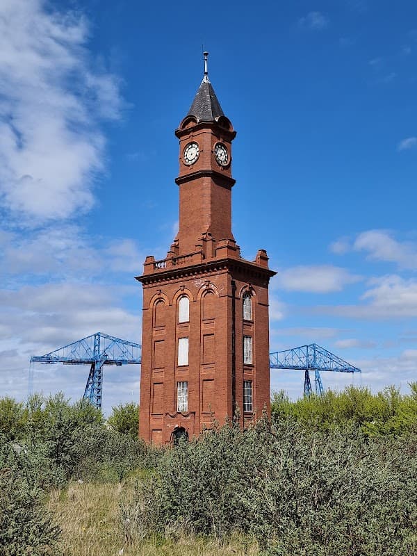
Middlesbrough Hydraulic Clock Tower
Discover the iconic Grade II listed Middlesbrough Hydraulic Clock Tower, a historic beacon of industry and a unique local landmark.
Browse by Type
Food & Drink

Shepherds Hall Tea Rooms & Craft Gallery

The Fox & Hounds
Located in the charming village of Hinderwell, The Fox & Hounds offers convenient parking for visitors exploring the picturesque surroundings of Staithes and Saltburn-by-the-Sea. While enjoying a delightful meal at this traditional pub, guests can easily access nearby attractions with standard pay-and-display parking options available.

Acklam Hall
Interactive Map
View accommodation, attractions, restaurants, and events on the map
Geographic Facts
- Population
- 147
- Area
- 2,102.83 km²
- Postcode
- YO21
- Administrative area
- North Yorkshire Council (formerly Hambleton)
Data sourced from Wikidata and verified public records
Upcoming Events in Kildale
View All Events in Kildale →
Latest news from Kildale
All Local News →
Walkshire in Kildale
More Walks in Kildale →
Walk - Roseberry Topping & Captain Cook's Monument
Explore one of the North York Moors’ most iconic landscapes on this circular walk from Great Ayton. Combining the distin…
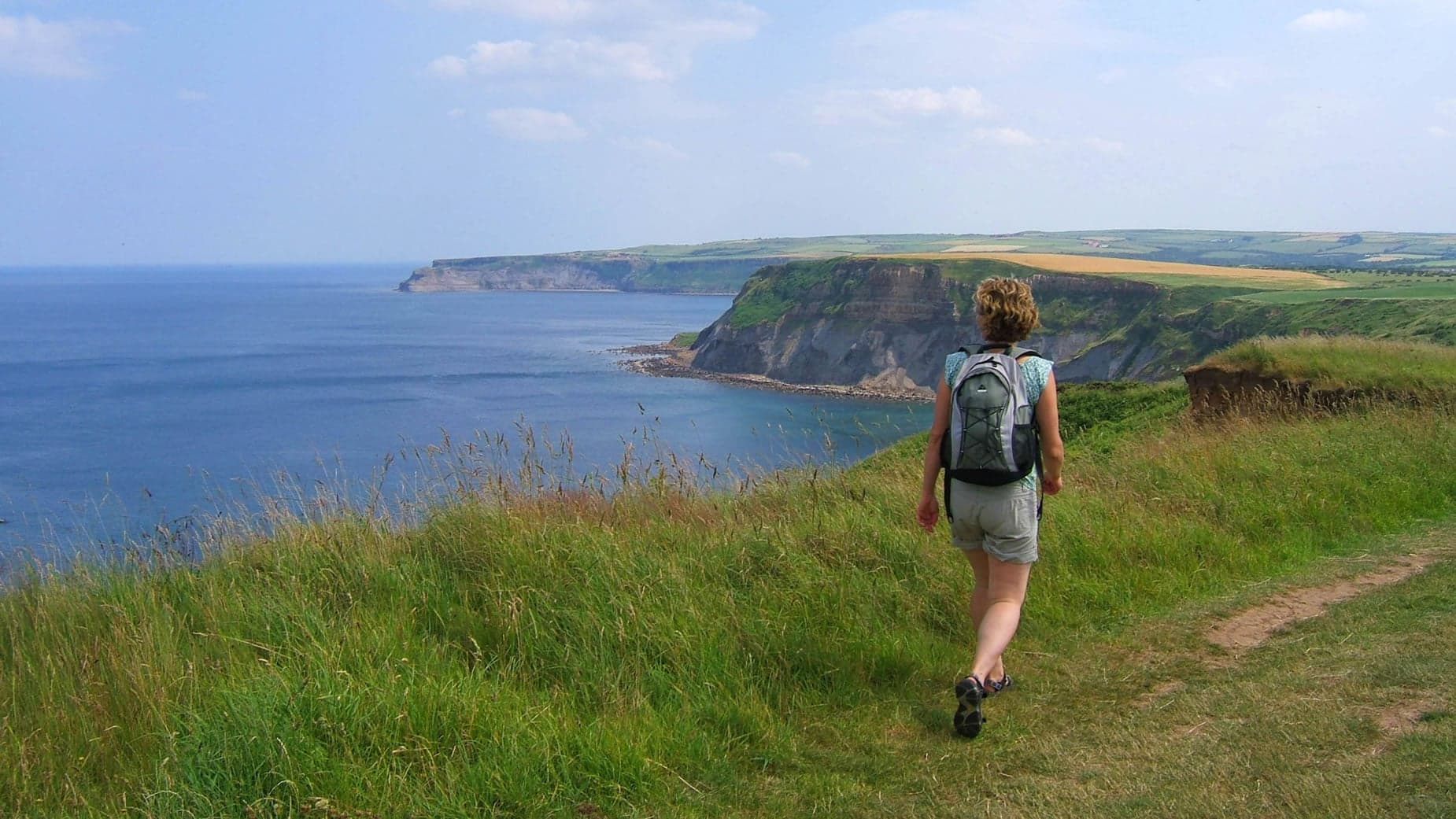
Walk: Cleveland Way National Trail
The 109 mile horseshoe-shaped Cleveland Way starts in the wonderful market town of Helmsley before stretching across the…

National Trails
We're lucky to have four of Britain's finest National Trails here in Yorkshire. So take your pick. The Cleveland Way rol…