
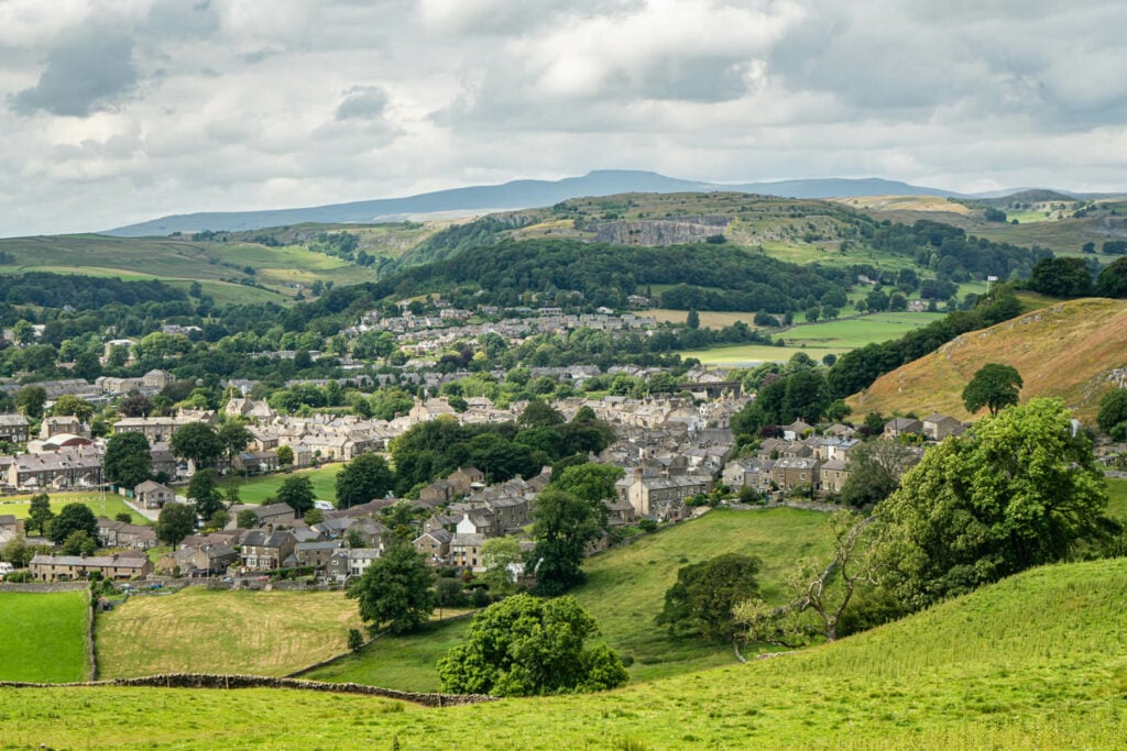
This simple and easy walk takes you around the exquisite town of Settle and close to the beautiful River Ribble.
The Route
- what3words for start point: ///townhouse.hatch.cowboy
- Start / Finish Point: Ashfield Car Park, 8 Kirkgate, Settle BD24 9DZ
- Distance: 2 Miles
GPX Route Map
Walk Description
This simple and easy walk takes you around the exquisite town of Settle. It starts in the town centre taking you over to the west side of the town. Once you've crossed the river the path will take you right going past Queens Rock. Once this path ends turn left on the road and continue done until you hit a fork in the road. At this fork take the left hand road and it will take you to a junction. At this junction go left and follow the road until you get to the rugby field where the path will take you to the bridge you crossed at the start. Once you're at the bridge you just need to follow the path you took at the start to where you parked.
All paths are accessible to everyone including scooters.
