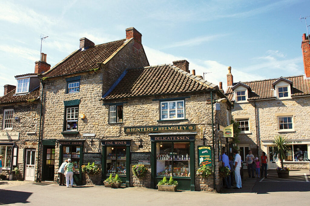
Helmsley Discovery Trail is a 1.8 kilometer loop trail located near Helmsley, North Yorkshire, and is good for all skill levels. The trail is primarily used for hiking, walking, and running.

Table of Contents
The Route
- what3words for start point: ///scores.sublime.swatting
- Start Point: Helmsley
- Finish Point: Helmsley
- Distance: 1 Miles
GPX Route Map
Download file for GPSWalk Description
An easy access circular trail around the market town of Helmsley in Ryedale. The route discovers several of the town’s key attractions including the bustling Market Place, the pretty beck, the imposing castle, the magnificent walled gardens and a short stretch of the Cleveland Way.
The walk follows generous width tarmac or paved surfaces for the most part, with one stretch along an uneven compacted stone track (although this can be excluded if necessary). The route is mainly level with a couple of gentle slopes. There are no stiles, kissing gates or steps on route. With this in mind, the entire route would be suitable for a rugged pushchair or disability buggy.
If the uneven stone track section is excluded, the route would be suitable for a wheelchair. Allow 1 hour. There are public toilets close to the Market Place at the start of the walk. If you are looking for refreshments, the Walled Garden (waypoint 3) has a cafe open to the public and you will be spoilt for choice with pubs, cafes and restaurants in Helmsley at the start or end of the walk.
OS Map: Explorer OL26 North York Moors Western Area. This walk follows public footpaths and bridleways which cross private and public land. Please respect people’s privacy, keep dogs under control and remember the Countryside Code.


The route map is not for Helmsley.
Well spotted – this has been updated.