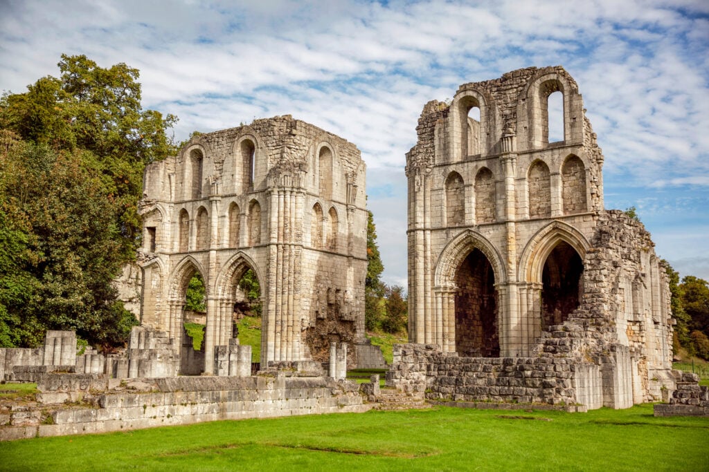
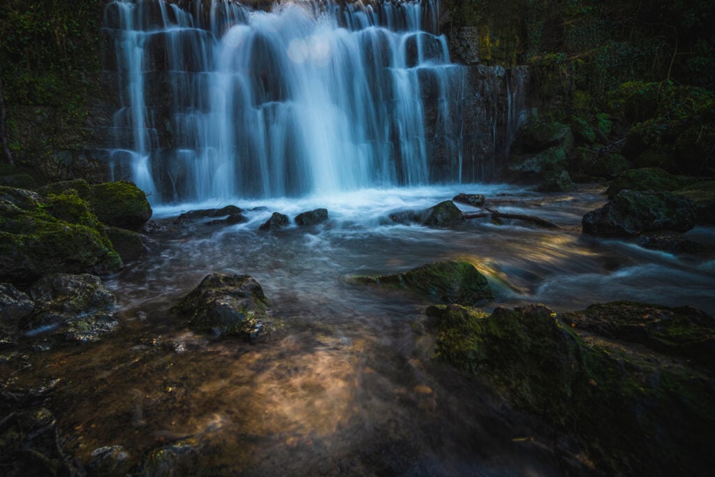
This is a beautiful walk near Maltby, to the east of Rotherham in South Yorkshire. It is full of history, nature, woodland and vast views, with no need for any big climbs.

Table of Contents
Walk route
- what3words for start point: ///obligated.fetch.ribs
- Distance: 5 miles
- Start Location Name: Roche Abbey Car Park
- Finish Location Name: Roche Abbey Car Park
OS Route Map & GPX Download
The Ordnance Survey map below shows the full walk route, in pink. You can use this (try the full screen mode) on your smartphone to guide you where to go.
Download file for GPSDownload the GPX file for your GPS navigation device using the pink link above, and you’ll be able to use this walk on your own devices.
Walk Description
It starts from Roche Abbey and takes you through woodland, past waterfalls and through the village of Laughton en le Morthen with its great church and spire.
The walk starts with splendour immediately. Walking by Roche Abbey, you are surrounded by history nestled in the valley floor.
Following the path beside the fence, keeping the abbey on the right, you turn right at the end and into the wonderful King’s Wood.

Here, you will find yourself in an old and beautiful woodland with waterfalls and greenery everywhere. Then, after about half a mile, you come to a fork in the path. Take the left path that goes gradually uphill for a short time.
As you step out of the woods, you will meet fabulous views along the path. There are miles of crops and fields to the left and the woods appear below to your right.
As you walk straight ahead, you cannot miss the village of Laughton en le Morthen and the huge 185ft spire of its church. This is a perfect halfway place to explore.
After passing through Laughton en le Morthen, you head down to the valley bottom to begin the walk back. Here, you will gain a whole new perspective of this very pretty area.
The pathway you headed out on is now above you to the right and the woodland is ahead of you. From this area’s angle, you really do see why they placed Roche Abbey where they did. The valley gets narrower, with the woods nestled in the valley bottom.
When you get back into the woods, you come in on what was the other path in the fork mentioned earlier and you can make your way back to the start.


What is the distance of this walk please? How long approx to complete
Thanks
This walk is 5 miles long. If you took a below average pace of 28 minutes per mile, you should allow 2 hours to complete this walk. Half that if you are a fit, and fast, walker.
I remember this place from my childhood having raised in the local town, and attending the now abandoned secondary school; so I can highly recommend this walk at any time of year, to really see it at its best though one needs to walk in the spring and summer, though autumn can be just as captivating.
Is this suitable to walk/take a pram with a 1 year old please?
Did this in April, 60% mudfest…but far reaching views, variety aplenty.
The Travellers Rest isn’t doing food yet, the landlord told us about the delicious menu that was coming whilst our stomachs were rumbling…dog friendly. The cafe of Ledger Lakes were unwilling to sell us food, despite us being on time for it,but it looked great!