
Discover Foston
Foston is a village in North Yorkshire, England, governed by Ryedale District Council. Situated at coordinates 54.0774, -0.9364, it falls within the YO60 postcode area. The village features a historic church and is surrounded by scenic countryside, making it a noteworthy point of interest for visitors to the region.
Explore the map below to discover accommodation, attractions, restaurants, and live events across Foston. Scroll down to browse featured listings and plan your perfect visit.
Property in Foston
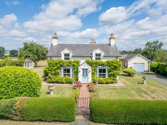
Explore property in Foston — homes and commercial listings for sale and to rent. Start with detached houses.
Browse by type
Stay in Foston
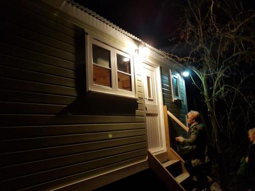
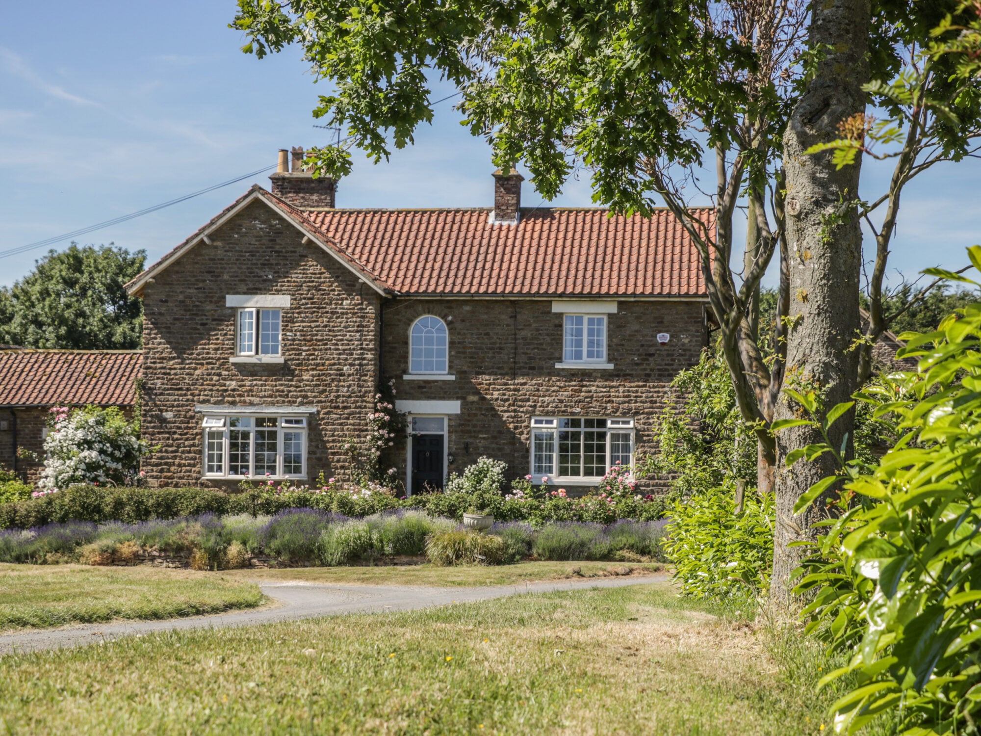
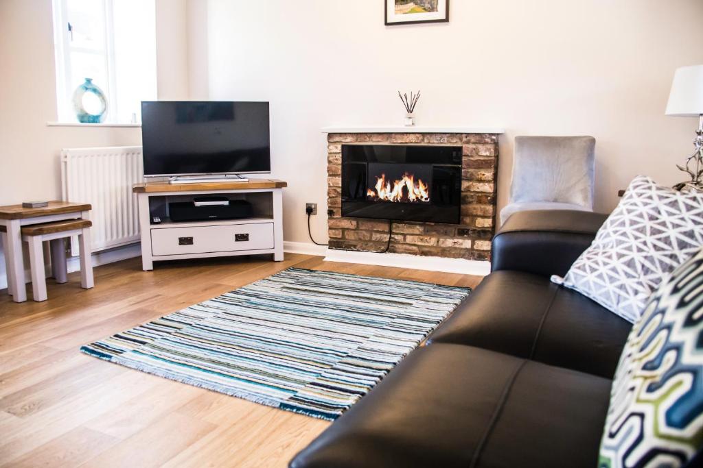
The Dairy
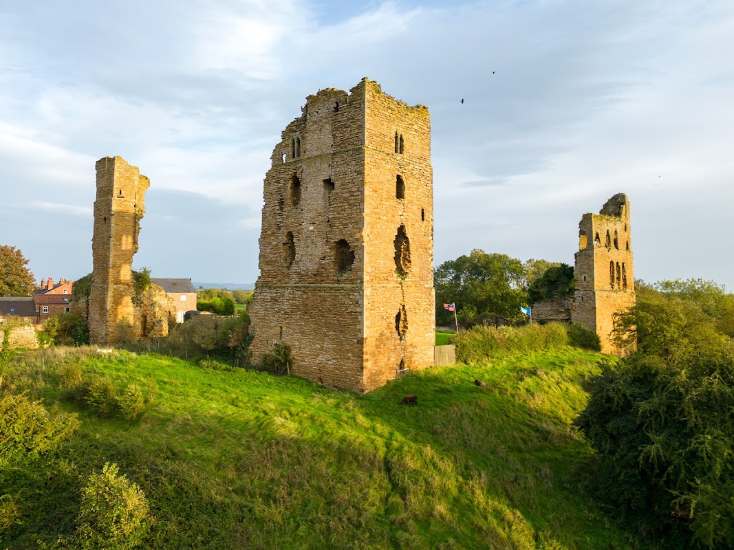
Sheriff Hutton Castle (Private)
Sheriff Hutton Castle offers a unique parking experience for visitors attending events or exploring the historical site. Located in the picturesque village of Sheriff Hutton, this venue provides convenient pay-and-display parking options, ensuring easy access to the castle's charming surroundings.
Browse by Type
Things to Do in Foston
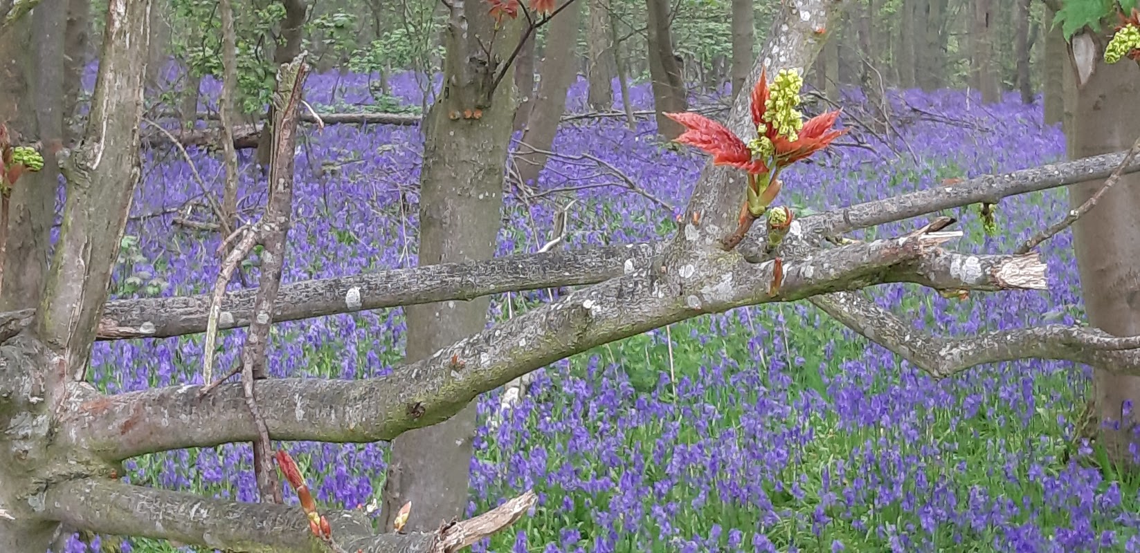
Stittenham Wood
Stittenham Wood offers a serene escape into nature with its beautiful walking trails and seasonal bluebells. While parking can be challenging due to limited options in the village, visitors can enjoy a peaceful day out exploring the natural beauty of the area. Be prepared for potentially muddy paths during winter months.
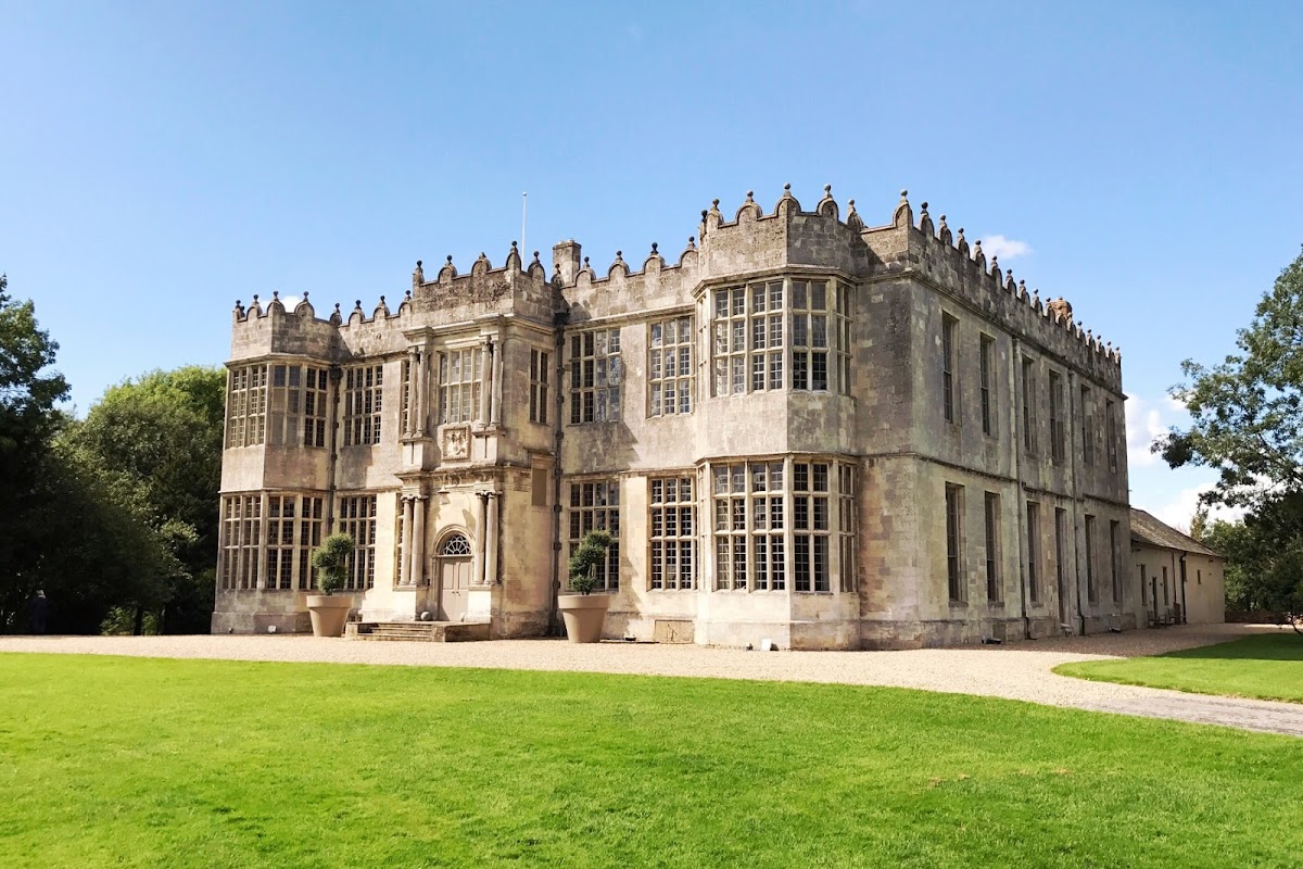
Howsham Hall
Located in the picturesque village of Howsham, North Yorkshire, Howsham Hall offers convenient parking options for visitors attending events at this stunning venue. With easy access to the charming town of Malton and the historic city of York, guests can enjoy the beautiful countryside while having the convenience of nearby amenities.
Sheriff Hutton Castle (Private)
Sheriff Hutton Castle offers a unique parking experience for visitors attending events or exploring the historical site. Located in the picturesque village of Sheriff Hutton, this venue provides convenient pay-and-display parking options, ensuring easy access to the castle's charming surroundings.
Food & Drink
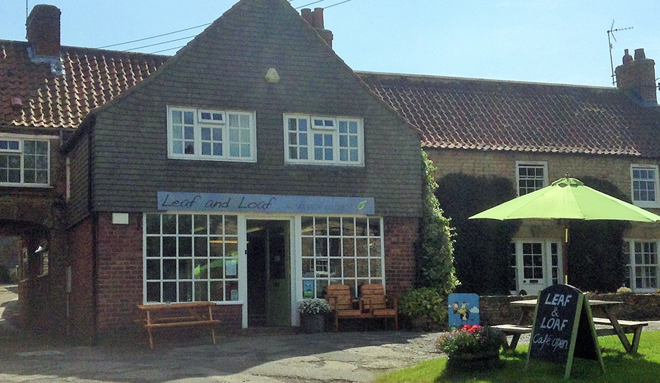

Tykes
Located at Sandburn Hall in the picturesque village of Flaxton, Tykes offers ample parking for visitors enjoying a delightful meal at this renowned restaurant. The large car park ensures convenient access, making it a perfect stop for tourists exploring the Yorkshire countryside.
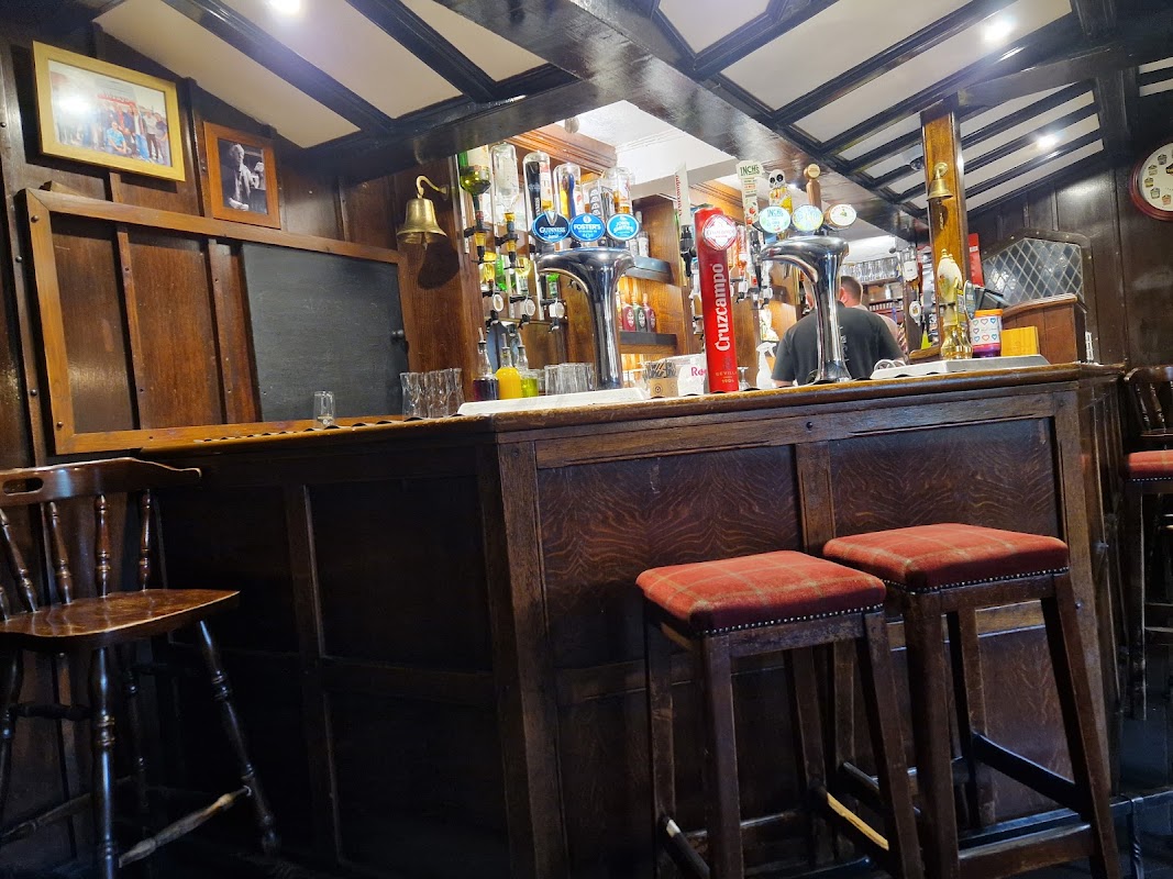
Highwayman Inn
The Highwayman Inn in Sheriff Hutton offers convenient parking options for visitors looking to enjoy a traditional pub experience in the heart of Yorkshire. Located in a charming village setting, this facility is perfect for those planning to explore the local area and indulge in delicious homemade meals. Please note that standard pay-and-display parking is available nearby.
Browse by Type

Interactive Map
View accommodation, attractions, restaurants, and events on the map
Geographic Facts
This village is geographically within the following regions:
Upcoming Events in Foston
View All Events in Foston →


Latest news from Foston
All Local News →
From Local Farm to National Shelves: How a North Yorkshire Rapeseed Oil Business Wins Listing with Garden Centre Chain
A North Yorkshire farm business, Charlie & Ivy's, has landed a major nationwide listing! Find their award-winning rapeseed oil bread dippers in Dobbies now.
Walkshire in Foston
More Walks in Foston →
Walk: High Hutton to Crambeck
Take in the countryside between High Hutton and Crambeck near Malton on this easy walk from a Coastliner bus. The Route what3words for start point: ///revives.decisions.checked Start Point: Bus stops near Huttons Ambo Lane End, York YO60 7HU Finish Point: Bus stops near Crambeck village, Crambeck, York YO60 7EZ Distance: 4.5 Miles GPX Route Map walkshirehighhuttontocrambeckDownload Walk Description From the bus stops, turn so the Saltergate Car Park is behind you, and head left - crossing the road if you need to - and head through the gap in the fence on the right, Then turn right again to be walking away from - but parallel to - the A169 road. Follow it around to the left until the paths split. Take the left fork, around the edges of the trees, and then left again as a path branches off into the scrubland. Follow this line until you reach a clear path intersecting yours; turn left on this path through the trees and then right. The paths split and here take the left hand higher path. Go through three fields and then walk along the left side of a hedgerow in the forth field. At the end of this, look head but to the left slightly for an entrance path into the wood in front of you, and walk towards this. Head through the wood to emerge on the other side, and head left to find the gap in the boundary of the fields. Go through and turn slightly right, heading for the gate you should be able to see in the boundary straight ahead. Go through this and head for the boundary ahead, turning right when you reach it. Turn left through the boundary when you can, and then head to the left of the row of trees which is ahead of you. At the next boundary ahead, turn right and head into the wood following the path which eventually brings you out the other side and down on a clear path into the Hole of Horcum. Continue to follow the path and it leads back to where the paths split towards the start. Follow the path back towards the main road, and turn right to retrace your steps back to be bus stops near the car park.

Walk: Castle Howard Parkland Circular Walk
A beautiful 5 mile walk around the outside parklands of Castle Howard just near Malton and Slingsby in East Yorkshire. Take in the lakes, the monuments and open countryside with great views of the house itself. The Route what3words for start point: ///scribble.ratio.stumpy Start Point: Castle Howard, York YO60 7DA Finish Point: Castle Howard, York YO60 7DA Distance: 5 Miles GPX Route Map castlehowardcircularDownload Walk Description A beautiful 5 mile walk around the outside parklands of Castle Howard. Take in the lakes, the monuments and open countryside with great views of the house itself. No need to pay for entry in this walk as you go all around the estate perimeter and get views of many of the monuments and follys on the route as well. Start near the car park at Castle Howard entrance. (Free Parking). The Obelisk is unmissable near the entrance and this is the start point. On the walk start you head northwards from here (right out the car park) and along the straight road. Then, eventually you will reach a crossroads where you turn right into the beautiful village of Coneysthorpe. You will begin to get fantastic views of Castle Howard over the Great Lake. After passing through the village the path off to the right takes you through open meadows that complement the parkland fantastically. At Ray Wood you pass by and through on a a well kept woodland path that really adds to a walk with variety. You will soon see the outer wall of Castle Howard on your right as you approach the Temple up the slope. A unique view of the Temple rather than the other side you get on entry. From here you walk down the field to New River Bridge where you again get a magnificent view of castle Howard, and the other way the Mausoleum on the hill. At the next junction turn right onto the small lane and you will pass beside The Pyramid. When you reach the gatehouse, turn right again and you will end up back again at the Obelisk.