Discover Burniston
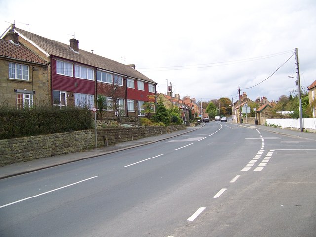
Burniston is a village located in North Yorkshire, governed by North Yorkshire Council (formerly Scarborough). It has a population of approximately 1,523 residents and falls under the YO13 postcode area. Known for its proximity to the coastline, Burniston offers easy access to scenic walking trails and local heritage sites.
Explore the map below to discover accommodation, attractions, restaurants, and live events across Burniston. Scroll down to browse featured listings and plan your perfect visit.
Stay in Burniston
Castle View
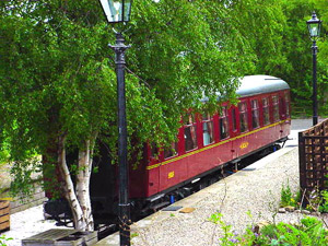
Oscar' at Station House
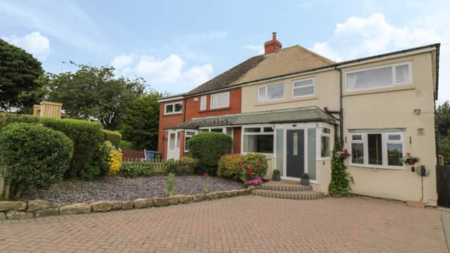
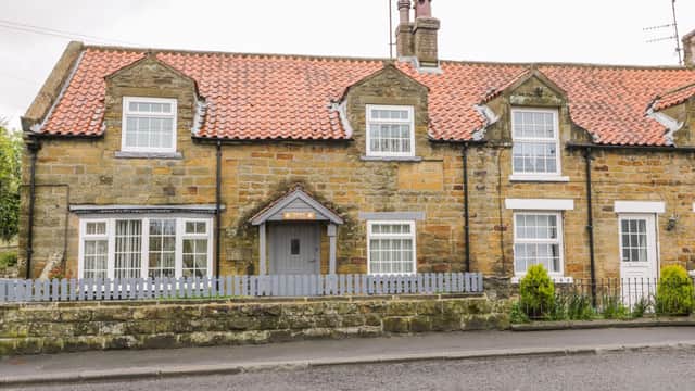
The Haven
The Haven provides comfortable accommodation in burniston.
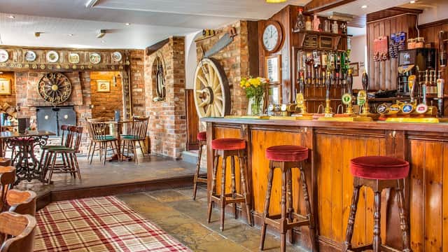
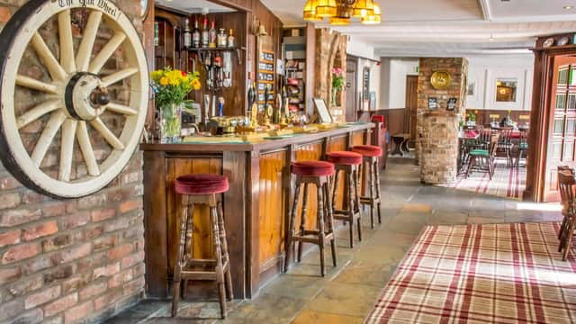
The Oak Wheel Pub
The Oak Wheel Pub in Cloughton offers convenient parking for guests visiting its charming bed and breakfast or enjoying a meal at the traditional pub. Located on Coastal Road, this facility provides easy access to the picturesque surroundings of Scarborough, making it an ideal stop for travelers exploring Yorkshire.

Blacksmiths Arms Inn
11A High Street
Things to Do in Burniston

Filey Zoo
Whatever your age come and discover this Award-Winning Attraction… we think you’ll be surprised!
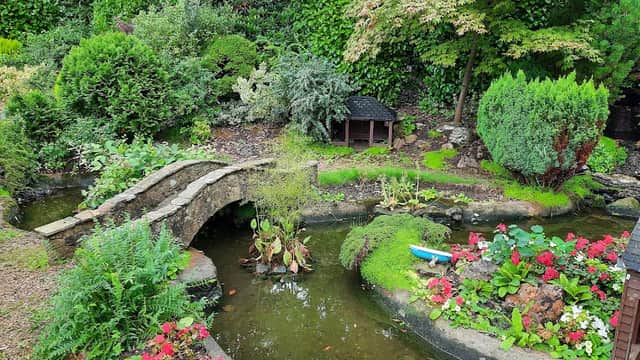
Shuttleworth Gardens
Discover the charming Shuttleworth Gardens in Scarborough, a delightful and tranquil green space featuring a unique miniature village.
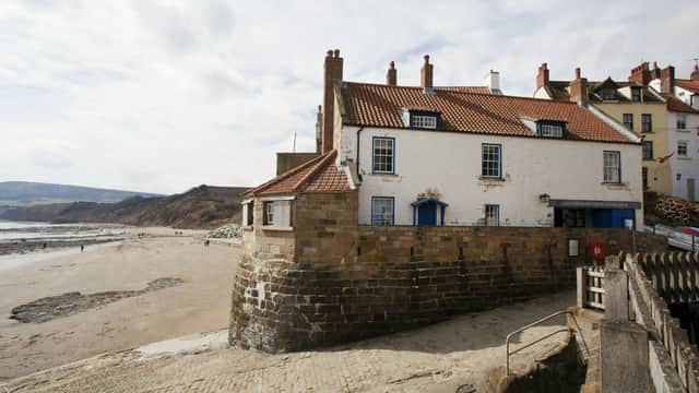
Boatman's Loft
Boatman's Loft offers a charming and unique self-catering retreat in the picturesque village of Robin Hood's Bay.
Browse by Type
Food & Drink
The Oak Wheel Inn
The Oak Wheel Pub
The Oak Wheel Pub in Cloughton offers convenient parking for guests visiting its charming bed and breakfast or enjoying a meal at the traditional pub. Located on Coastal Road, this facility provides easy access to the picturesque surroundings of Scarborough, making it an ideal stop for travelers exploring Yorkshire.
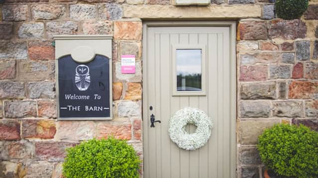
The Barn Bistro

Interactive Map
View accommodation, attractions, restaurants, and events on the map
Geographic Facts
This village is geographically within the following regions:
- Population
- 1,523
- Postcode
- YO13
- Administrative area
- North Yorkshire Council (formerly Scarborough)
Data sourced from Wikidata and verified public records
Upcoming Events in Burniston
View All Events in Burniston →


Latest news from Burniston
All Local News →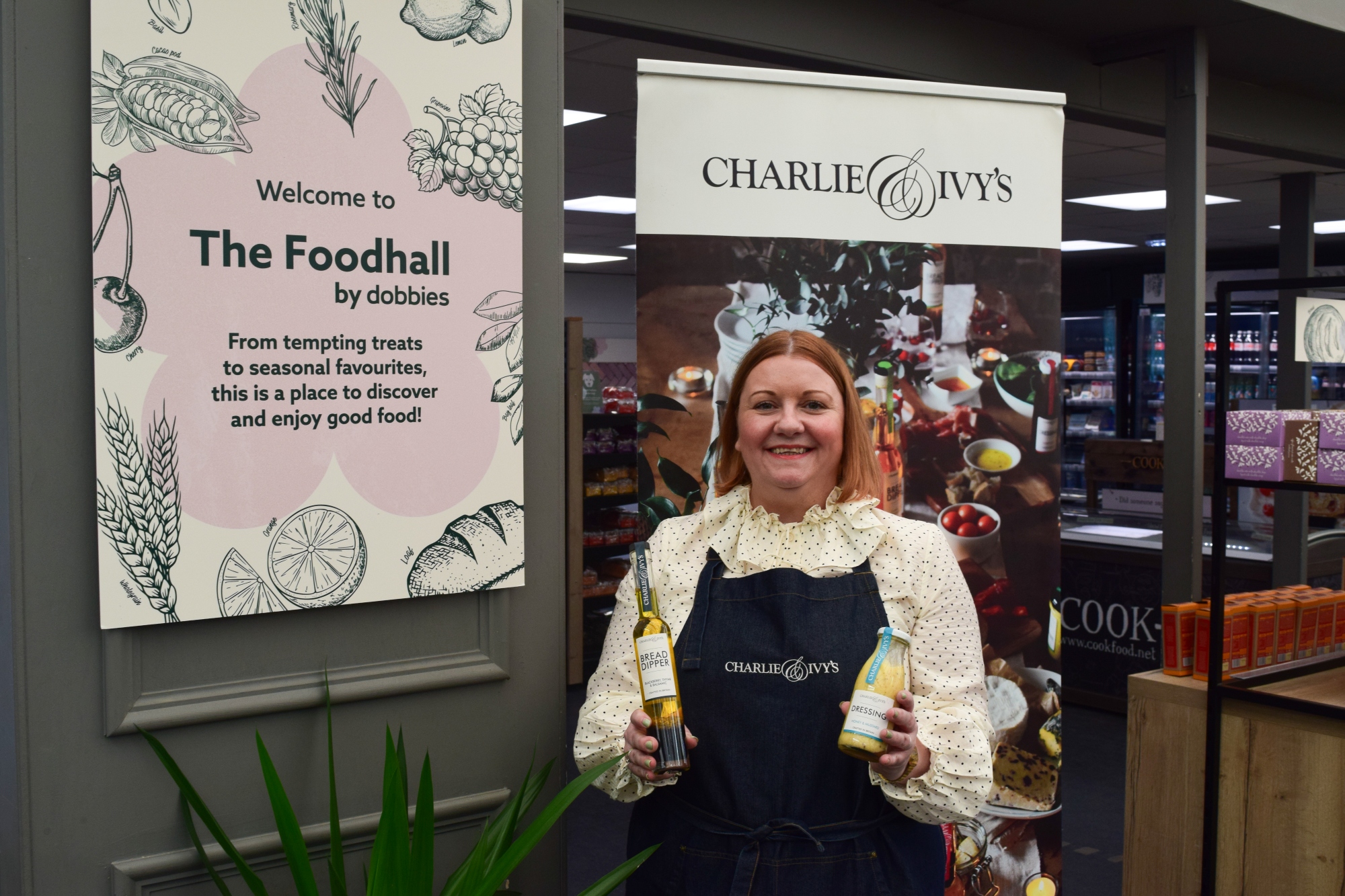
From Local Farm to National Shelves: How a North Yorkshire Rapeseed Oil Business Wins Listing with Garden Centre Chain
A North Yorkshire farm business, Charlie & Ivy's, has landed a major nationwide listing! Find their award-winning rapeseed oil bread dippers in Dobbies now.
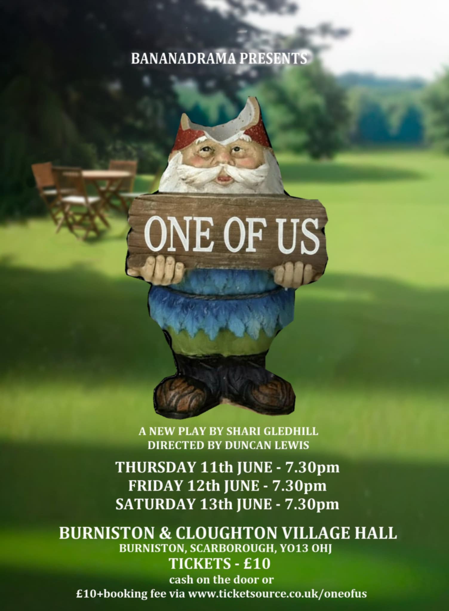
Award-Winning Burniston and Cloughton Village Hall Events
Discover why Burniston & Cloughton Village Hall in North Yorkshire won two major excellence awards for being the best community venue and recreation facility.
Walkshire in Burniston
More Walks in Burniston →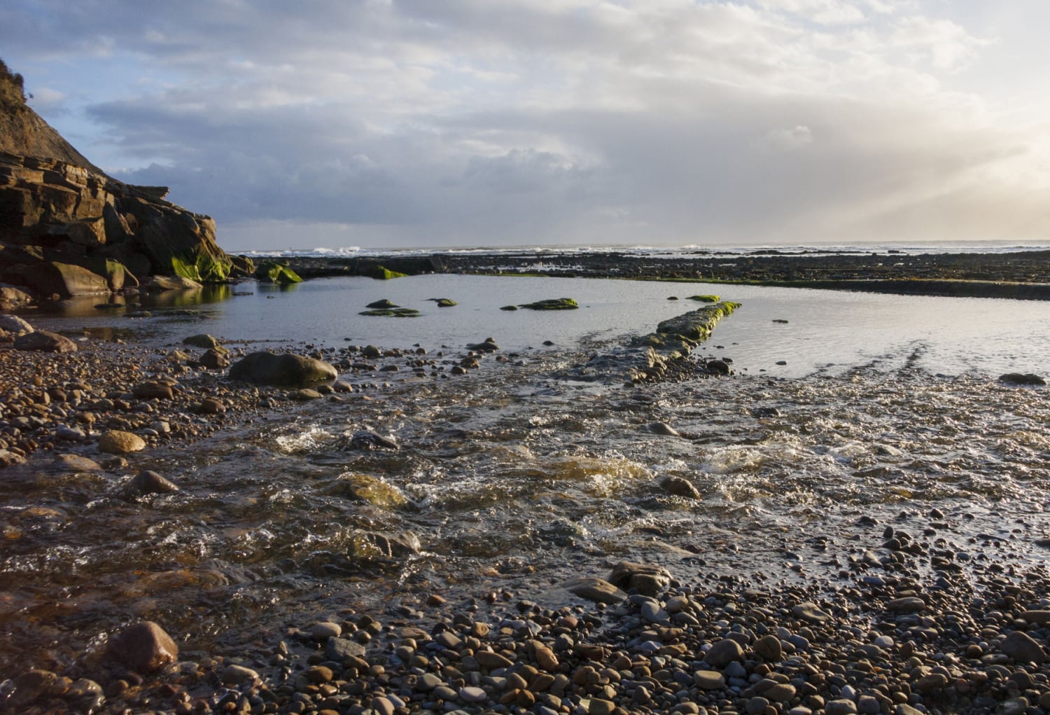
Walk: Scarborough Sea Cut
On the outskirts of Scarborough is a lovely walk alongside the famous Scarborough 'Sea Cut' before returning via Raincli…
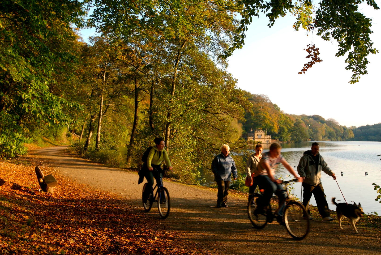
Leisure and Road Cycling
Yorkshire's not all flat out Sticking to the tracks, country lanes and cycle paths doesn't mean missing out on our count…
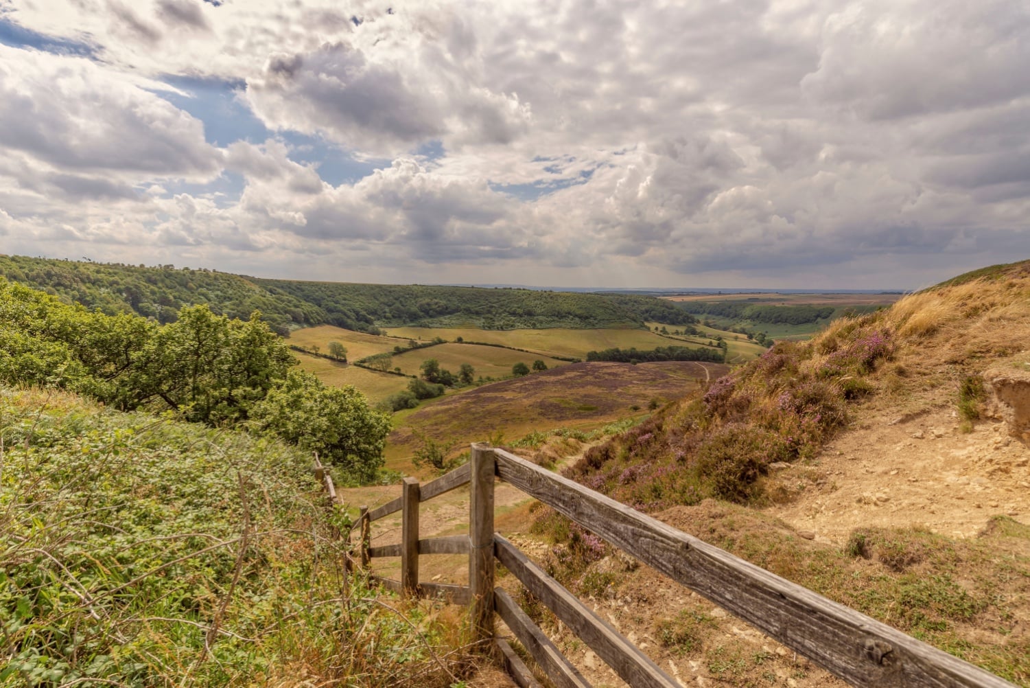
Walk: Tabular Hills
The Tabular Hills Walk is a scenic long-distance footpath in North Yorkshire, England, stretching approximately 48 miles…