This short walk, perfect for spotting boats, takes you along the Aire & Calder Navigation.
The Route
- What3Words reference point: ///loves.sushi.stove
- Start Point: Castleford Lock, WF10 2LN
- Finish Point: Castleford Lock, WF10 2LN
- Distance: 1.5 Miles
GPX Route Map
Walk Description
Start your walk at Castleford Lock, where parking is available. Castleford Lock is the junction for the Aire & Calder Navigation, where you can head towards Wakefield, Leeds or Knottingley on the water.
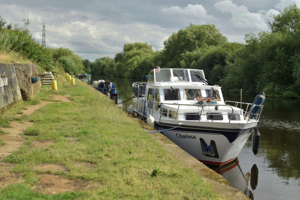
Follow the Navigation towards the bridge and head under the road on the footpath. Once you have passed under the road follow the wide path along the waterway. You will see a variety of boats moored up and may even spot a fisherman or ducks along the way.
When you reach Bulholme Lock you can continue your walk into RSPB Fairburn Ings or taking care use the lock to cross the Navigation and head back down the canal on the opposite side. Use the towpath to head back down the canal and you will reach the road, continue along the road, past the boatyard until you reach the main road.
Cross the main road and pick up the path that will take you back to green space around Castleford Lock. You can use any of the locks to cross over back to your starting point. Why not take a picnic to enjoy at the end on one of the benches by the water?
