Welcome to Yorkshire
News • December 20th, 2020
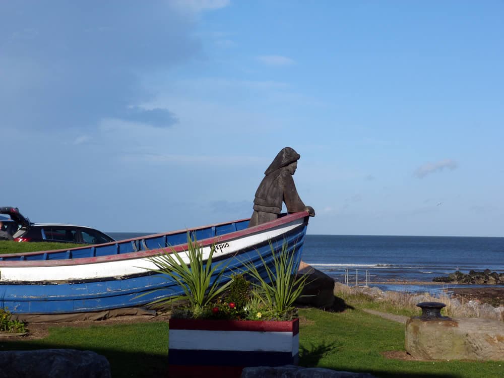
|The beautiful section of the Yorkshire Coast between Saltburn and Skinningrove is less visited than that further south. The return via Warsett Hill offers variety to the rolling cliffs.

The Route
- what3words for start point: ///bangle.hilltop.viewer
- Start Point: Saltburn Car Park west side of the river near the beach (TS12 1HQ)
- Finish Point: Saltburn Car Park
- Distance: 7 Miles
Getting there
It's easy to get to the seafront by car.
Saltburn has an easily accessed railway station on the Tees Valley Line, which runs between Bishop Auckland and Saltburn via Darlington. The station, situated 12 miles 57 chains east of Middlesbrough, serves the seaside town of Saltburn-by-the-Sea, Redcar and Cleveland in North Yorkshire.
The X4 bus service runs between Middlesbrough, Saltburn and Whitby.
GPX Route Map
Walk Description
Any walk along the Yorkshire Coast is undulating and varied. This is no exception. Starting at Saltburn there is a steep climb to start with as you follow the Cleveland Way which sticks close to the cliffs.
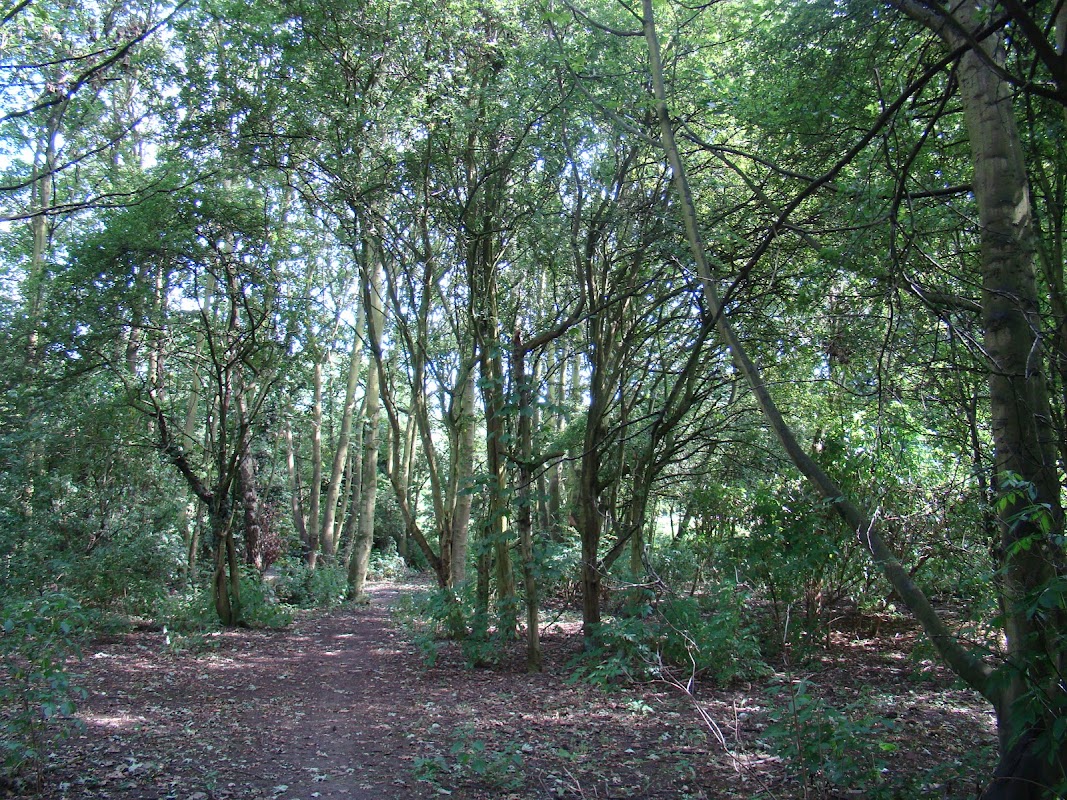
Skinningrove is an old fishing village which offers a great contrast with Saltburn, more of a Victorian tourist hot spot! The return is a little inland and takes in the lovely viewpoint of Warsett Hill and the Old Railway which used to link all the coastal towns.
Yorkshire Team
The Yorkshire.com editorial team is made up of local writers, content creators, and tourism specialists who are passionate about showcasing the very best of God’s Own Country. With deep roots in Yorkshire’s communities, culture, food scene, landscapes, and visitor economy, the team works closely with local businesses, venues, and organisations to bring readers the latest news, events, travel inspiration, and insider guides from across the region. From hidden gems to headline festivals, Yorkshire.com is dedicated to celebrating everything that makes Yorkshire such a special place to live, work, and visit.
View all articles →

Comments
0 Contributions
No comments yet. Be the first to start the conversation!