Welcome to Yorkshire
Inspiration • July 22nd, 2021
|Introduction
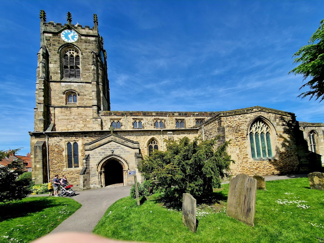
A short walk around the historic sights of Pocklington.

Walk Route
- what3words for start point: ///glassware.sunk.mainly
- Distance: 1 Miles
- Start Location Name: Regent Street (near the junction with New Street)
- Finish Location Name: On Railway Street, near the Pocela Centre
OS Route Map & GPX Download
The Ordnance Survey map below shows the full walk route, in pink. You can use this (try the full screen mode) on your smartphone to guide you where to go.
Download the GPX file for your GPS navigation device using the pink link above, and you’ll be able to use this walk on your own devices.
Walk Description
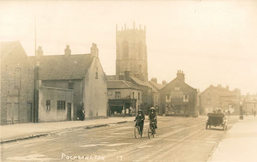
You need the ‘What Was Here?’ app to access this heritage trail.
Add a bit of history to your time in Pocklington and use the archive images to peep into the past and see what some parts of the town looked like in years gone by.
Yorkshire Team
The Yorkshire.com editorial team is made up of local writers, content creators, and tourism specialists who are passionate about showcasing the very best of God’s Own Country. With deep roots in Yorkshire’s communities, culture, food scene, landscapes, and visitor economy, the team works closely with local businesses, venues, and organisations to bring readers the latest news, events, travel inspiration, and insider guides from across the region. From hidden gems to headline festivals, Yorkshire.com is dedicated to celebrating everything that makes Yorkshire such a special place to live, work, and visit.
View all articles →


Comments
0 Contributions
No comments yet. Be the first to start the conversation!