Discover Linton-on-Ouse
Linton-on-Ouse is a village located in North Yorkshire, governed by North Yorkshire Council (formerly Hambleton). With a population of around 1,200, it sits near the River Ouse. The village is notable for its proximity to RAF Linton-on-Ouse, a significant former RAF station now part of local heritage discussions.
Explore the map below to discover accommodation, attractions, restaurants, and live events across Linton-on-Ouse. Scroll down to browse featured listings and plan your perfect visit.
Stay in Linton-on-Ouse

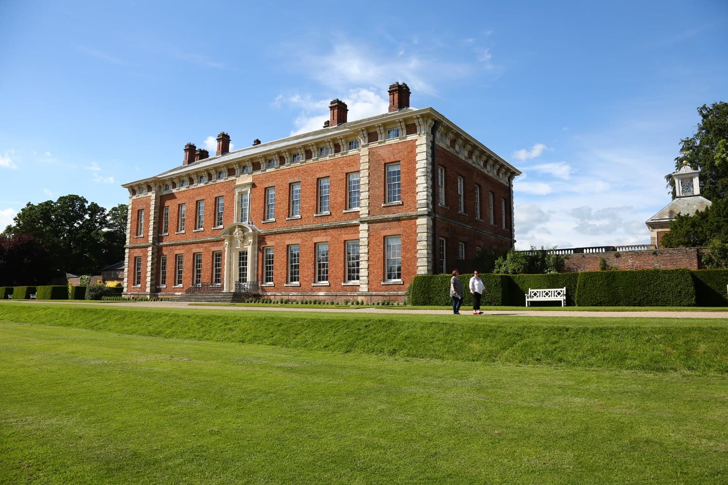
The Manor House

The Manor Guest House

The Manor House
The Manor House provides comfortable accommodation in linton-on-ouse.

The George Hotel Easingwold


The Little Hide - Adult Only Camping Pods
Things to Do in Linton-on-Ouse
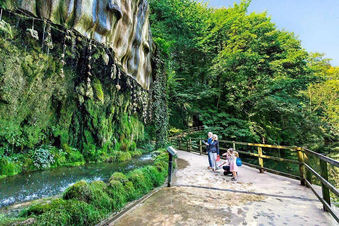
Mother Shipton's Cave
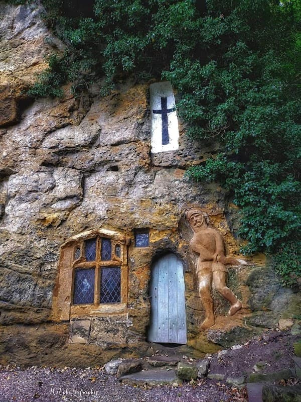
Chapel of Our Lady of the Crag
Carved directly into the limestone cliffside, the Chapel of Our Lady of the Crag is a distinctive and captivating historic landmark in Knaresborough.
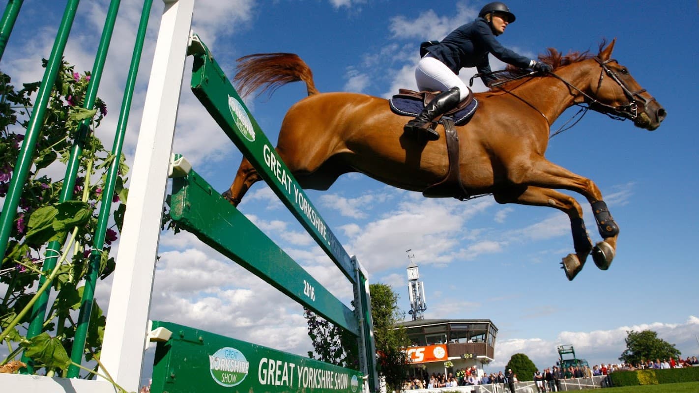
Great Yorkshire Show
The Great Yorkshire Show is an iconic annual event, offering a vibrant celebration of agriculture, food, and entertainment for all ages.
Browse by Type
Food & Drink

Saffron Spice at the College Arms
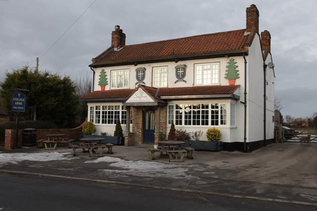
College Arms

The Blacksmiths Arms
The Blacksmiths Arms, located in the charming village of Linton-on-Ouse, offers a quintessential Yorkshire pub experience. While visiting, enjoy the convenience of pay-and-display parking nearby, allowing you to relax and savor the local hospitality and delicious meals. This welcoming pub is perfect for a cozy meal or a pint after exploring the scenic surroundings.
Interactive Map
View accommodation, attractions, restaurants, and events on the map
Geographic Facts
This village is geographically within the following regions:
- Population
- 1,204
- Area
- 937.05 km²
- Administrative area
- North Yorkshire Council (formerly Hambleton)
Data sourced from Wikidata and verified public records