Discover Thornton-le-Clay
Thornton-le-Clay is a village in North Yorkshire, governed by North Yorkshire Council (formerly Ryedale). With a population of 210, it is located within the YO60 postcode area. The village's rural setting offers insights into traditional English village life, making it a point of interest for those exploring the region's countryside.
Explore the map below to discover accommodation, attractions, restaurants, and live events across Thornton-le-Clay. Scroll down to browse featured listings and plan your perfect visit.
Stay in Thornton-le-Clay

Thompsons Arms

Nettlebed (Classic Cottages)
Visit the stunning Yorkshire Dales and experience the authentic, rustic charm of an original Yorkshire stone cottage.

4 Wellgarth
Egremont Pines
Egremont Pines provides comfortable accommodation in fangfoss.

The George Hotel Easingwold

Things to Do in Thornton-le-Clay

Children’s planet
Located in the scenic village of Kirby Misperton, the parking facility at Children's Planet offers convenient pay-and-display options for visitors exploring the nearby attractions. With modern payment methods including credit and NFC, it's an easy choice for those visiting the area.

The Bloody Tour of York
The City of York walls are the most unique and complete in the country. They have also seen their fair share of blood with heads spiked on Micklegate bar, a medieval Jewish massacre and cannon fire from the Civil War in 1644.Join award winning Mad Alice on a gruesome walk on the walls as she highlig...
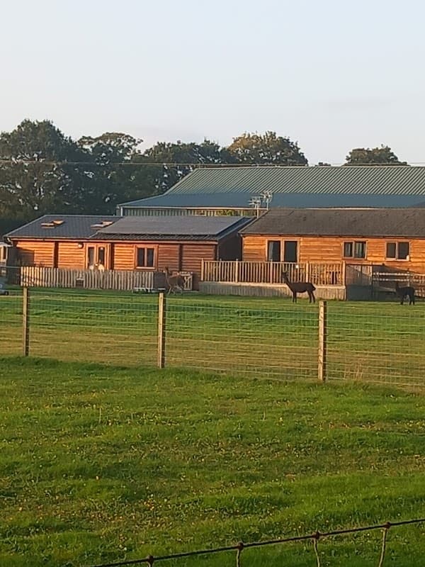
Egremont Pines
Egremont Pines in Fangfoss offers a charming camping experience with well-maintained facilities and friendly staff. Located within easy driving distance to York, it provides electric hookups and a unique opportunity to enjoy the company of goats and alpacas. Ideal for nature lovers looking to explore the Yorkshire countryside.
Browse by Type
Food & Drink

Restaurant Mýse
Located in the picturesque village of Hovingham, Restaurant Mýse offers a delightful fine dining experience. While enjoying the culinary delights, visitors can conveniently park nearby using the pay-and-display parking options available in the area. This ensures a hassle-free visit to this renowned dining destination.
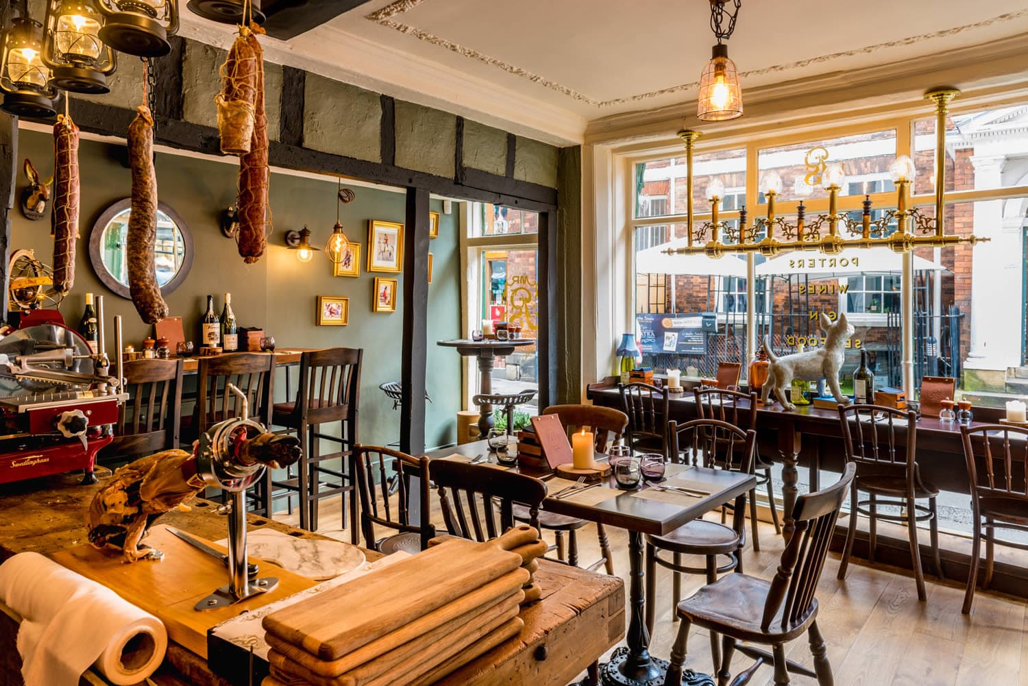
Mr P’s Curious Tavern
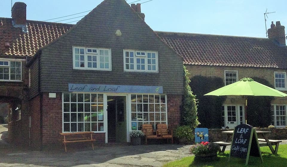
Leaf and Loaf
Interactive Map
View accommodation, attractions, restaurants, and events on the map
Geographic Facts
- Population
- 210
- Postcode
- YO60
- Administrative area
- North Yorkshire Council (formerly Ryedale)
Data sourced from Wikidata and verified public records