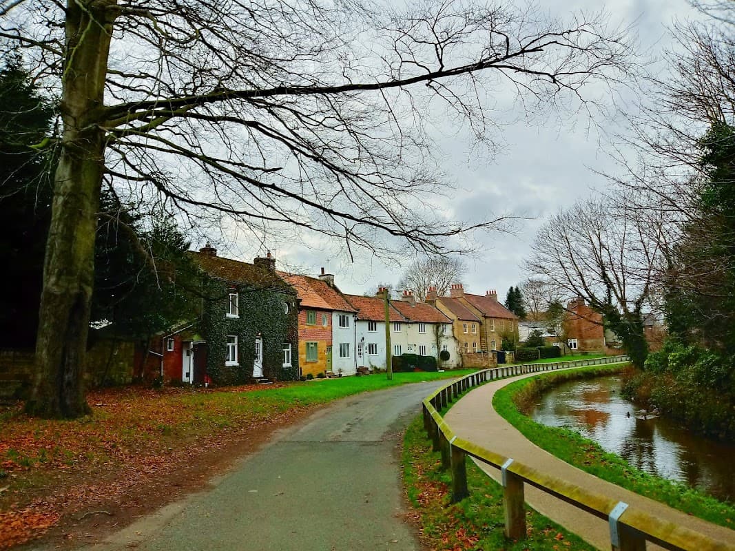
Discover Welbury
Welbury is a village located in North Yorkshire, governed by North Yorkshire Council. With a population of 263, it falls under the DL6 postcode area. The village is notable for its tranquil rural landscape and proximity to the North York Moors, offering scenic views and outdoor recreational opportunities.
Explore the map below to discover accommodation, attractions, restaurants, and live events across Welbury. Scroll down to browse featured listings and plan your perfect visit.
Stay in Welbury

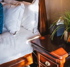
The Courtyard Rooms

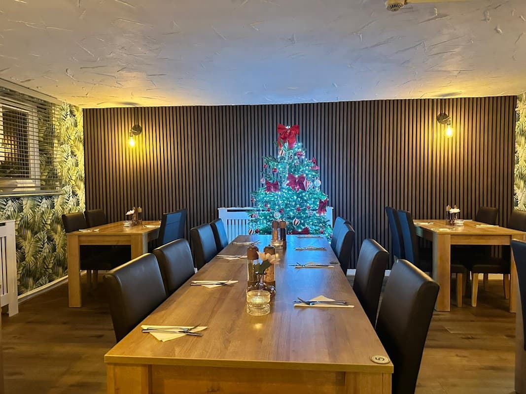
Duke of Wellington, Welbury
Duke of Wellington, Welbury provides comfortable accommodation in welbury.
Wellington Studio Retreat in Northallerton

Welbury Studio Retreat


Ivy House
Nestled in the picturesque Yorkshire village of Borrowby, Ivy House is a beautifully renovated farmhouse steeped in history.
Things to Do in Welbury
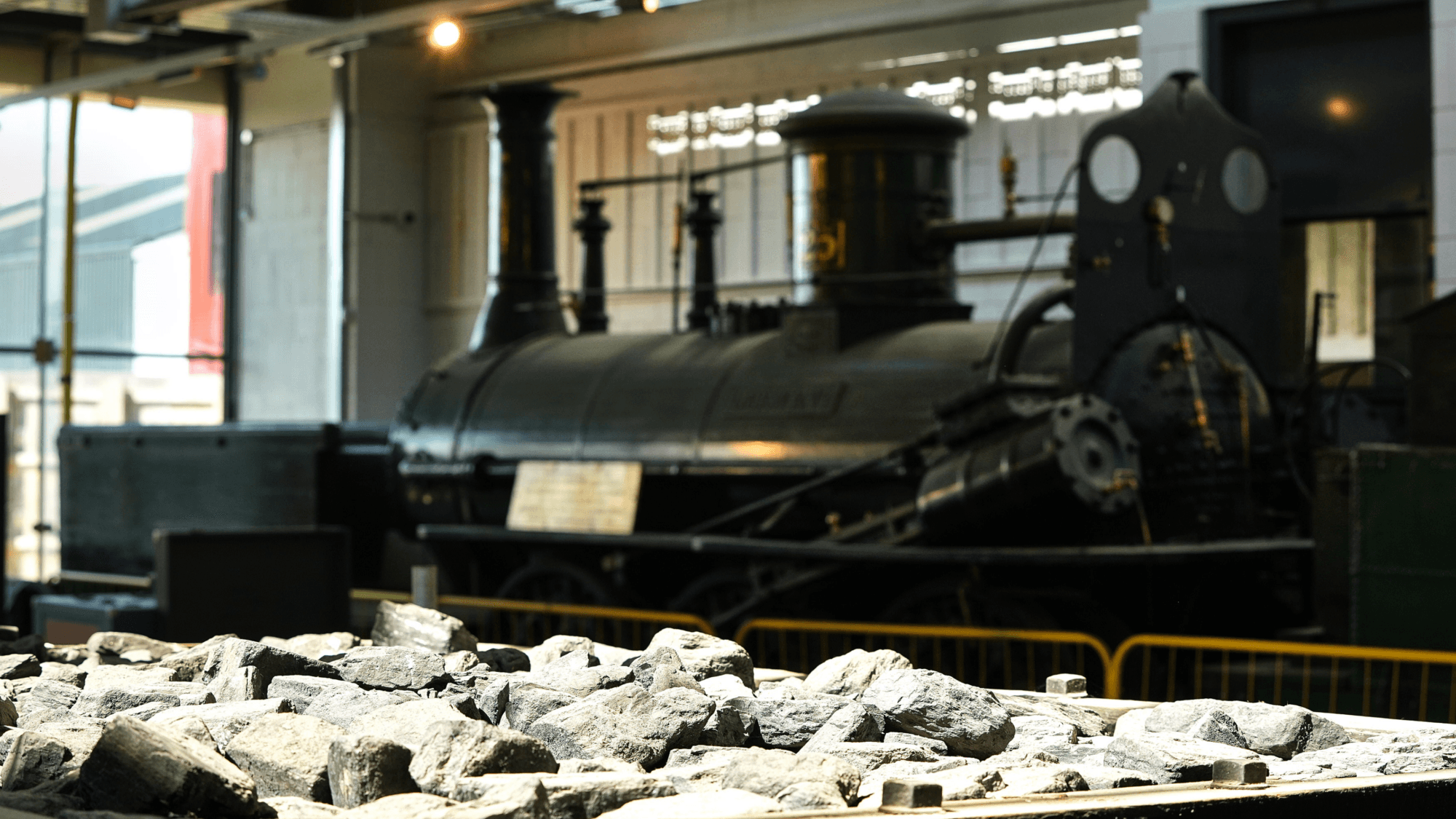
Hopetown Darlington
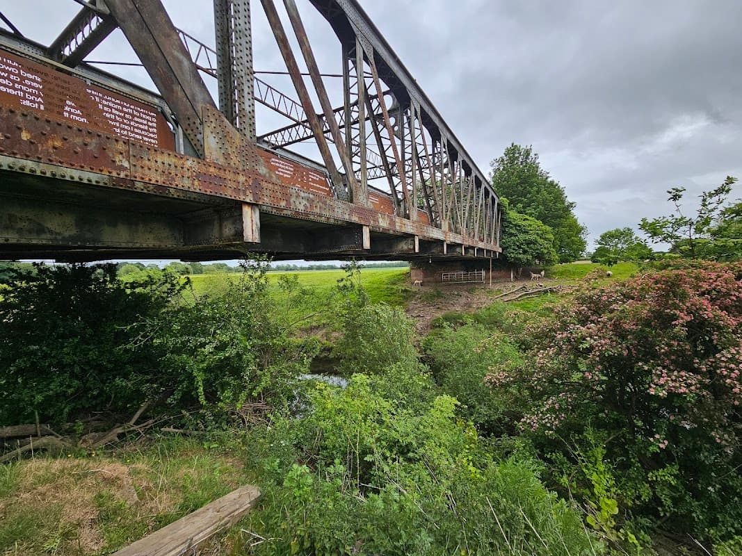
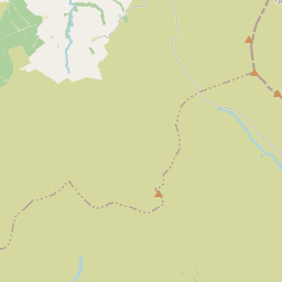
Iron Bridge Maunby
Iron Bridge Maunby offers convenient parking for visitors exploring the tranquil hiking and walking paths in the Maunby area. Located near Thirsk, this parking facility provides easy access to picturesque trails and a historic railway bridge, perfect for a leisurely day out. Please note that payment options are limited, so plan accordingly.
Browse by Type
Food & Drink
Duke of Wellington, Welbury
Duke of Wellington, Welbury offers great dining in welbury.
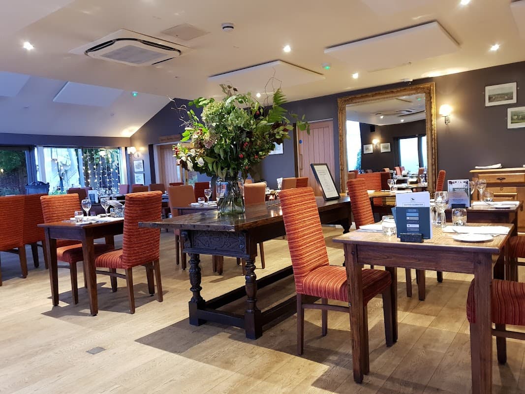
The Old Royal George Inn
The Old Royal George Inn offers convenient free parking for its guests, making it an ideal choice for those exploring the picturesque surroundings of Ainderby Steeple and the nearby Yorkshire Dales. Guests can enjoy a peaceful stay in one of the charming chalets located at the rear of the pub, away from the road noise.
Black Bull Inn
Located in the charming village of Moulton, North Yorkshire, the Black Bull Inn offers convenient pay-and-display parking for visitors. This sleek pub-restaurant combines vintage and modern decor, making it an ideal spot for enjoying seafood, steaks, and hearty mains after a day of exploring the picturesque surroundings.
Interactive Map
View accommodation, attractions, restaurants, and events on the map
Geographic Facts
This village is geographically within the following regions:
- Population
- 263
- Area
- 969.1 km²
- Postcode
- DL6
- Administrative area
- North Yorkshire Council (formerly Hambleton)
Data sourced from Wikidata and verified public records