Discover Skirlaugh
Skirlaugh is a village located in the East Riding of Yorkshire, governed by the East Riding of Yorkshire Council. Home to about 1,672 residents, it falls within the HU11 postcode area. Known for its St. Augustine's Church, a site of historical interest, Skirlaugh offers insights into the region's medieval heritage.
Explore the map below to discover accommodation, attractions, restaurants, and live events across Skirlaugh. Scroll down to browse featured listings and plan your perfect visit.
Stay in Skirlaugh

Willow Pastures Country Park
Willow Pastures Country Park provides comfortable accommodation in skirlaugh.


Willow Pastures Country Park

Charming 2-Bed Cottage on outskirts of Beverley


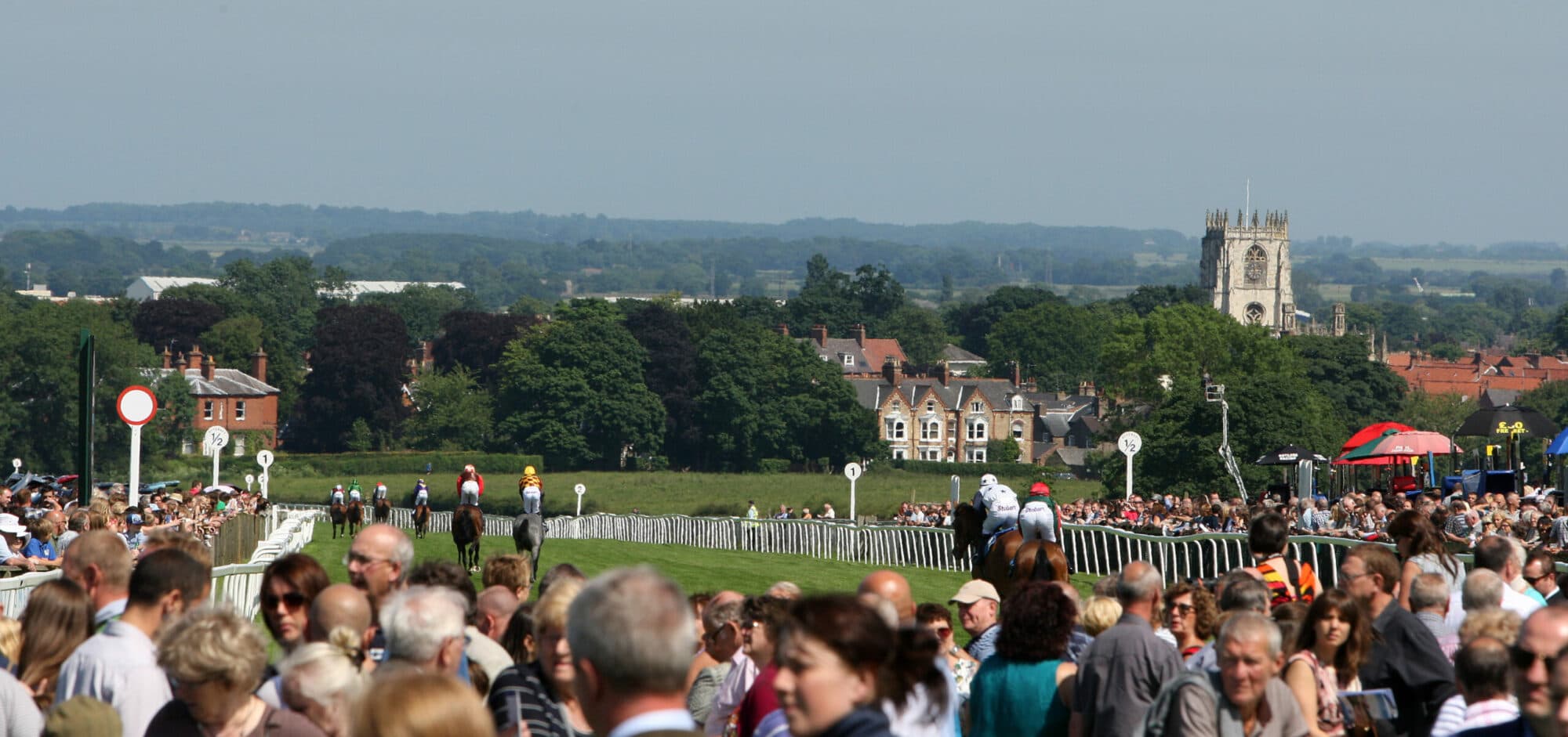
Things to Do in Skirlaugh

Skirlaugh secure dog walking field
Located in the charming village of Skirlaugh, the Skirlaugh secure dog walking field offers a safe and enjoyable environment for both dogs and families. With convenient parking, agility items, and picnic tables, it's an ideal spot for a fun day out. The facility is well-maintained and provides access to fresh water, making it perfect for a refreshing break in the countryside.
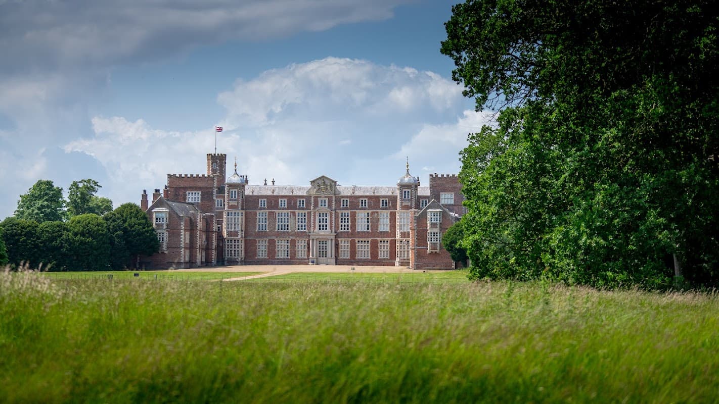
Burton Constable Hall & Parkland
Burton Constable Hall & Parkland offers convenient pay-and-display parking for visitors exploring this grand country estate. Located in Skirlaugh, Hull, the site features a historic 16th-century hall with numerous rooms and a fascinating Cabinet of Curiosities. Enjoy a leisurely day out with knowledgeable guides and delightful grounds to wander.

Sutton & Wawne Museum
Discover the rich history of Sutton and Wawne at this charming local museum, a community gem filled with fascinating artefacts and stories.
Browse by Type
Food & Drink

Duke Of York
Located in the charming village of Skirlaugh, the Duke Of York offers convenient parking for visitors looking to enjoy a delightful pub experience. With easy access from the main road, this facility is ideal for those exploring the local area or stopping by for a meal. Enjoy the friendly atmosphere and homemade cuisine at this popular local establishment.

Lazy Bean
Located in the charming village of Skirlaugh, Lazy Bean offers a delightful culinary experience with locally sourced ingredients. While visiting, enjoy the convenience of nearby pay-and-display parking, making it easy to explore the area and savor the café's renowned breakfast offerings. Perfect for families and dog-friendly, it's a must-visit spot for a relaxing meal.

William's Farm Kitchen
Interactive Map
View accommodation, attractions, restaurants, and events on the map
Geographic Facts
This village is geographically within the following regions:
- Population
- 1,672
- Postcode
- HU11
- Administrative area
- East Riding of Yorkshire
- Dialing code
- 01964
Data sourced from Wikidata and verified public records