
Welcome to Yorkshire
News • February 22nd, 2021
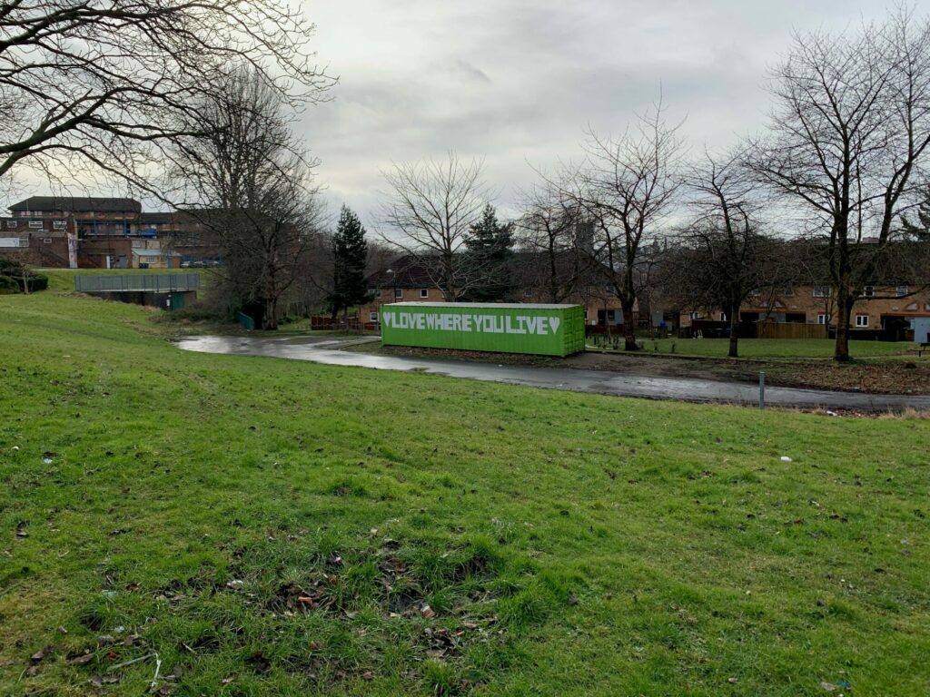
|An urban walk around some of Burngreave's green spaces and places to be active.
The Route
- what3words for start point: ///candle.rocks.king
- Start / Finish Point: Verdon St, Sheffield S3 9QS
- Distance: 3.84 Miles
GPX Route Map
Walk Description
A circular route around some of the landmarks and spaces to be active in Burngreave. The route starts in Burngreave and continues into Fir Vale and back round. A number of local parks on the route, meaning it would be good for families. The route is all tarmac pathways or Public Footpath. Suitable for pushchairs or wheelchairs (although a few inclines and some steps within Crabtree Pond Nature Reserve- but these can be avoided!) Great to see a number of community facilities. A number of hidden gems, where you can get some peace and quiet away from busy roads!
Yorkshire Team
The Yorkshire.com editorial team is made up of local writers, content creators, and tourism specialists who are passionate about showcasing the very best of God’s Own Country. With deep roots in Yorkshire’s communities, culture, food scene, landscapes, and visitor economy, the team works closely with local businesses, venues, and organisations to bring readers the latest news, events, travel inspiration, and insider guides from across the region. From hidden gems to headline festivals, Yorkshire.com is dedicated to celebrating everything that makes Yorkshire such a special place to live, work, and visit.
View all articles →


